Tasqala night lights from space
Night Light of Tasqala (Batys Qazaqstan) from space (Kazakhstan) Src. Average luminocity for 10x10km area is 0% and for 50x50km: 0%.
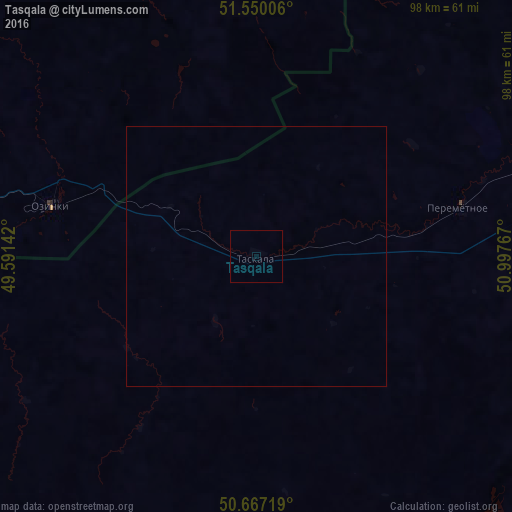
Analysis of Tasqala night lights 2016
Square area 10x10 km:
 0%
0%90-99
0%80-89
0%70-79
0%60-69
0%50-59
0%40-49
0%30-39
0%20-29
0%10-19
0%0-9
100%Square area 50x50 km:
0%90-99
0%80-89
0%70-79
0%60-69
0%50-59
0%40-49
0%30-39
0%20-29
0%10-19
0%0-9
100%Clear (daylight) street map image can be seen on geolist.org.
Map coordinates:
51° 33' 0.2" North, 49° 35' 29.1" East
51° 6' 38.6" North, 50° 17' 40.3" East
50° 40' 1.9" North, 50° 59' 51.6" East
Some cities around Tasqala sort by population:
• Oral
76 km =47.2 mi,  79°
79°
• Yershov, RU
143 km =88.9 mi,  280°
280°
• Staryye Ozinki, RU
43.7 km =27.2 mi, 279°
• Dergachi, RU
107.4 km =66.7 mi, 277°
• Gornyy, RU
141.2 km =87.7 mi,  300°
300°
• Chapaev
118.5 km =73.6 mi,  148°
148°
• Perelyub, RU
83.7 km =52 mi,  2°
2°
• Fedorovka
116.6 km =72.5 mi, 83°
609721 (p: 6,980)
Sources (retrieved 2019-11-25):
» Earth at Night: Flat Maps 2012, 2016