Vitebsk night lights from space
Night Light of Vitebsk from space (Belarus) Src. Average luminocity for 10x10km area is 69.7907% and for 50x50km: 3.6619%.
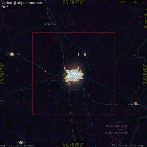
Analysis of Vitebsk night lights 2016
Square area 10x10 km:
 32.83%
90-99
17.79%80-89
7.39%70-79
2.38%60-69
2.63%50-59
1.63%40-49
3.88%30-39
4.39%20-29
19.67%10-19
7.02%0-9
0.38%Square area 50x50 km:
1.3%90-99
0.75%80-89
0.32%70-79
0.17%60-69
0.18%50-59
0.09%40-49
0.22%30-39
0.21%20-29
1.31%10-19
2.53%0-9
92.91%Clear (daylight) street map image can be seen on geolist.org.
Map coordinates:
55° 35' 23.1" North, 29° 30' 6.4" East
55° 11' 25.4" North, 30° 12' 17.6" East
54° 47' 13.2" North, 30° 54' 28.9" East
Some cities around Vitebsk sort by population:
• Orsha
77.1 km =47.9 mi,  169°
169°
• Haradok
33.3 km =20.7 mi,  335°
335°
• Chashniki
76.1 km =47.3 mi,  240°
240°
• Syanno
52.8 km =32.8 mi,  216°
216°
• Rudnya, RU
62.7 km =39 mi,  115°
115°
• Velizh, RU
77.8 km =48.3 mi,  53°
53°
• Dubrowna
75.5 km =46.9 mi,  155°
155°
• Lyozna
41.9 km =26 mi, 116°
620127 (p: 342,700)
Sources (retrieved 2019-11-25):
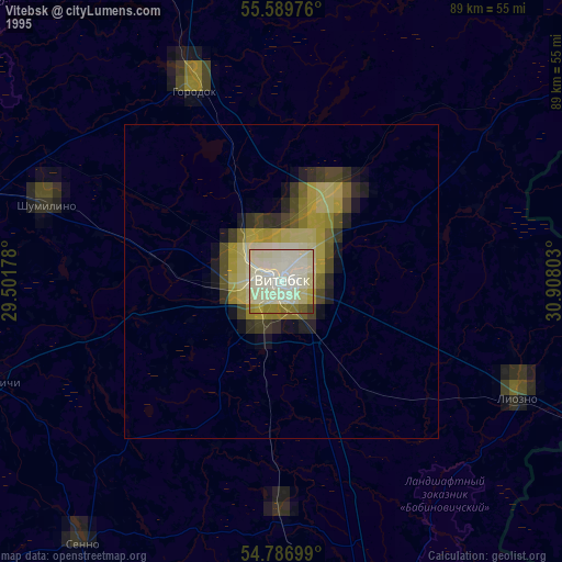
» NASA, Earths city lights 1995
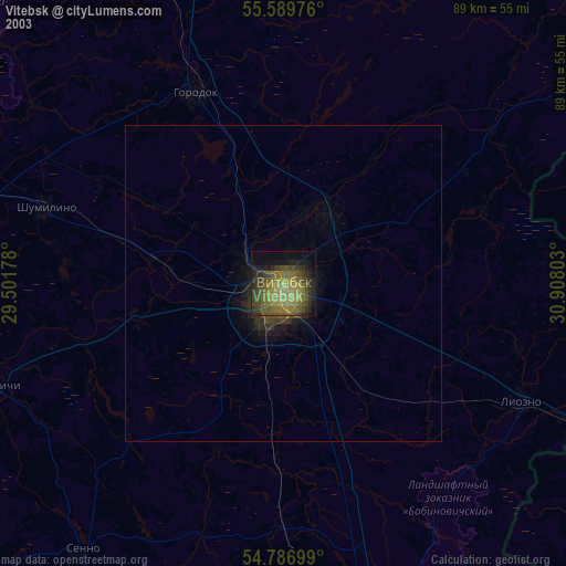
» NASA city lights 2003
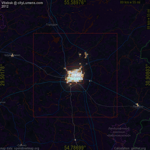
» Earth at Night: Flat Maps 2012, 2016