Dubrowna night lights from space
Night Light of Dubrowna (Vitebsk) from space (Belarus) Src. Average luminocity for 10x10km area is 0% and for 50x50km: 1.6842%.
Analysis of Dubrowna night lights 2016
Square area 10x10 km:
 0%
0%90-99
0%80-89
0%70-79
0%60-69
0%50-59
0%40-49
0%30-39
0%20-29
0%10-19
0%0-9
100%Square area 50x50 km:
0.33%90-99
0.42%80-89
0.2%70-79
0.16%60-69
0.09%50-59
0.06%40-49
0.05%30-39
0.05%20-29
0.26%10-19
1.74%0-9
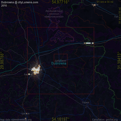
96.62%Clear (daylight) street map image can be seen on geolist.org.
Map coordinates:
54° 58' 37.8" North, 29° 59' 16.4" East
54° 34' 17.8" North, 30° 41' 27.6" East
54° 9' 43.1" North, 31° 23' 38.9" East
Some cities around Dubrowna sort by population:
• Orsha
19 km =11.8 mi,  248°
248°
• Horki
37 km =23 mi,  148°
148°
• Shklow
47.7 km =29.6 mi,  213°
213°
• Baran’
26.3 km =16.3 mi, 246°
• Talachyn
66.8 km =41.5 mi, 254°
• Rudnya, RU
49.1 km =30.5 mi,  31°
31°
• Kruhlaye
68 km =42.3 mi,  238°
238°
• Lyozna
50.8 km =31.6 mi,  7°
7°
628758 (p: 8,000)
Sources (retrieved 2019-11-25):
» Earth at Night: Flat Maps 2012, 2016