Vršac night lights from space
Night Light of Vršac (Vojvodina) from space (Serbia) Src. Average luminocity for 10x10km area is 18.9394% and for 50x50km: 1.9436%.
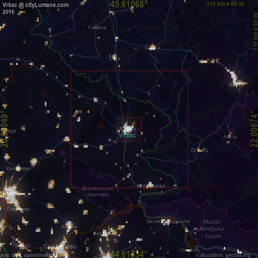
Analysis of Vršac night lights 2016
Square area 10x10 km:
 4.09%
4.09%90-99
5.61%80-89
0.3%70-79
0.3%60-69
2.58%50-59
1.36%40-49
1.52%30-39
0.91%20-29
0.61%10-19
17.73%0-9
65%Square area 50x50 km:
0.26%90-99
0.37%80-89
0.09%70-79
0.09%60-69
0.38%50-59
0.26%40-49
0.26%30-39
0.23%20-29
0.37%10-19
0.85%0-9
96.82%Clear (daylight) street map image can be seen on geolist.org.
Map coordinates:
45° 36' 38.4" North, 20° 36' 1.8" East
45° 7' 0" North, 21° 18' 13" East
44° 37' 6" North, 22° 0' 24.3" East
Some cities around Vršac sort by population:
• Bocşa, RO
42.7 km =26.5 mi,  48°
48°
• Oraviţa, RO
31.7 km =19.7 mi,  107°
107°
• Bela Crkva
26 km =16.2 mi,  159°
159°
• Anina, RO
43.6 km =27.1 mi,  95°
95°
• Gătaia, RO
36.3 km =22.6 mi,  15°
15°
• Banatski Karlovac
23.6 km =14.7 mi,  251°
251°
• Deta, RO
30.9 km =19.2 mi,  348°
348°
• Vladimirovac
35.7 km =22.2 mi, 254°
784136 (p: 36,300)
Sources (retrieved 2019-11-25):
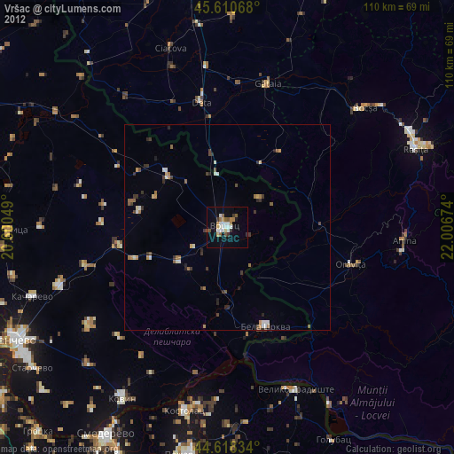
» Earth at Night: Flat Maps 2012, 2016