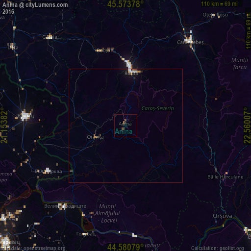
Anina night lights from space
Night Light of Anina (Caraş-Severin) from space (Romania) Src. Average luminocity for 10x10km area is 1.6864% and for 50x50km: 0.5997%.
Analysis of Anina night lights 2016
Square area 10x10 km:
 0%
0%90-99
0%80-89
0%70-79
0%60-69
0.61%50-59
0%40-49
1.67%30-39
0.3%20-29
1.06%10-19
0.61%0-9
95.76%Square area 50x50 km:
0.07%90-99
0.1%80-89
0.01%70-79
0.08%60-69
0.08%50-59
0.05%40-49
0.14%30-39
0.13%20-29
0.14%10-19
0.36%0-9
98.85%Clear (daylight) street map image can be seen on geolist.org.
Map coordinates:
45° 34' 25.6" North, 21° 9' 13.8" East
45° 4' 46" North, 21° 51' 25" East
44° 34' 50.8" North, 22° 33' 36.3" East
Some cities around Anina sort by population:
• Reşiţa
24.7 km =15.3 mi,  5°
5°
• Vršac, RS
43.6 km =27.1 mi,  275°
275°
• Caransebeş
46.9 km =29.1 mi,  36°
36°
• Bocşa
34.7 km =21.6 mi,  340°
340°
• Moldova Nouă
40.9 km =25.4 mi,  201°
201°
• Oraviţa
14.2 km =8.8 mi,  248°
248°
• Bela Crkva, RS
40.1 km =24.9 mi,  239°
239°
• Băile Herculane
49 km =30.4 mi,  116°
116°
686324 (p: 8,689)
Sources (retrieved 2019-11-25):
» Earth at Night: Flat Maps 2012, 2016