Trstenik night lights from space
Night Light of Trstenik (Central Serbia) from space (Serbia) Src. Average luminocity for 10x10km area is 5.3545% and for 50x50km: 2.5515%.
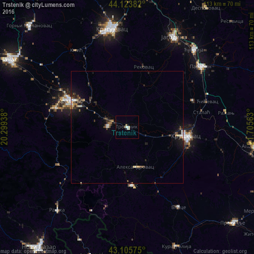
Analysis of Trstenik night lights 2016
Square area 10x10 km:
 0.91%
0.91%90-99
1.06%80-89
1.67%70-79
0%60-69
0%50-59
0.3%40-49
0.3%30-39
0%20-29
1.52%10-19
0.61%0-9
93.64%Square area 50x50 km:
0.21%90-99
0.33%80-89
0.28%70-79
0.15%60-69
0.36%50-59
0.31%40-49
0.48%30-39
0.39%20-29
0.9%10-19
1.97%0-9
94.62%Clear (daylight) street map image can be seen on geolist.org.
Map coordinates:
44° 7' 25.8" North, 20° 17' 57.8" East
43° 37' 1" North, 21° 0' 9" East
43° 6' 20.7" North, 21° 42' 20.3" East
Some cities around Trstenik sort by population:
• Kragujevac
45 km =28 mi,  351°
351°
• Kraljevo
27.9 km =17.3 mi,  295°
295°
• Kruševac
27 km =16.8 mi,  98°
98°
• Jagodina
45.1 km =28 mi,  27°
27°
• Ćuprija
45.4 km =28.2 mi,  40°
40°
• Leposaviq, XK
59.3 km =36.8 mi,  195°
195°
• Vrnjačka Banja
8.6 km =5.3 mi,  277°
277°
• Paraćin
42.4 km =26.3 mi,  50°
50°
784873 (p: 49,043)
Sources (retrieved 2019-11-25):
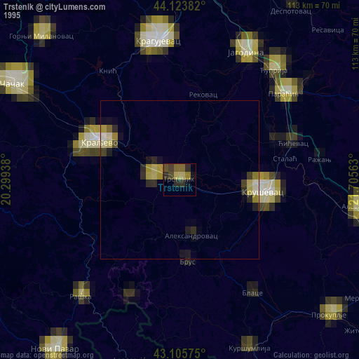
» NASA, Earths city lights 1995
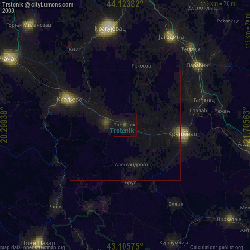
» NASA city lights 2003
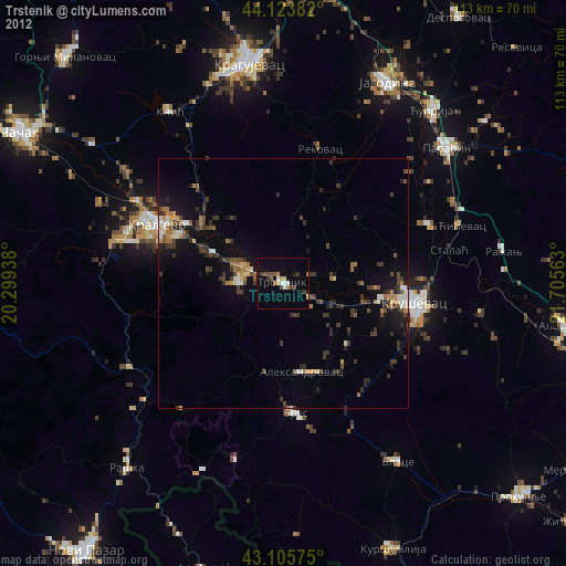
» Earth at Night: Flat Maps 2012, 2016