Kraljevo night lights from space
Night Light of Kraljevo (Central Serbia) from space (Serbia) Src. Average luminocity for 10x10km area is 43.9788% and for 50x50km: 4.4067%.
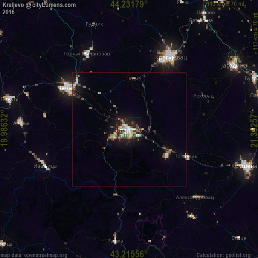
Analysis of Kraljevo night lights 2016
Square area 10x10 km:
 5.76%
5.76%90-99
9.39%80-89
3.79%70-79
7.27%60-69
4.55%50-59
7.42%40-49
5.61%30-39
9.09%20-29
17.88%10-19
23.18%0-9
6.06%Square area 50x50 km:
0.38%90-99
0.59%80-89
0.32%70-79
0.43%60-69
0.65%50-59
0.62%40-49
0.85%30-39
0.89%20-29
1.5%10-19
3.46%0-9
90.32%Clear (daylight) street map image can be seen on geolist.org.
Map coordinates:
44° 13' 54.4" North, 19° 59' 10.8" East
43° 43' 33" North, 20° 41' 22" East
43° 12' 56" North, 21° 23' 33.3" East
Some cities around Kraljevo sort by population:
• Kragujevac
37.1 km =23.1 mi,  29°
29°
• Čačak
32.9 km =20.4 mi,  304°
304°
• Kruševac
54.3 km =33.7 mi,  107°
107°
• Trstenik
27.9 km =17.3 mi,  115°
115°
• Jagodina
53.7 km =33.4 mi,  58°
58°
• Gornji Milanovac
38.1 km =23.7 mi,  331°
331°
• Vrnjačka Banja
19.9 km =12.4 mi, 123°
• Arilje
47.8 km =29.7 mi,  273°
273°
789107 (p: 82,846)
Sources (retrieved 2019-11-25):
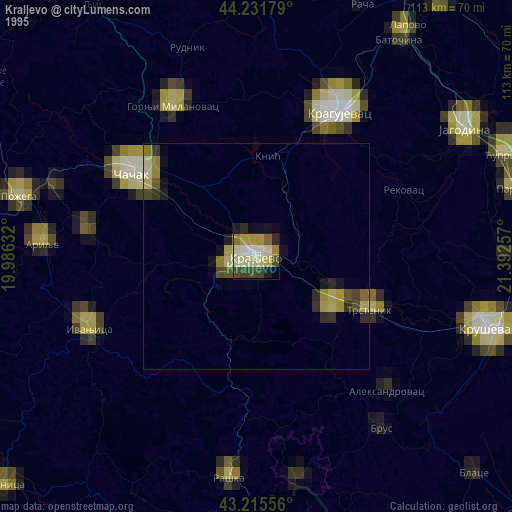
» NASA, Earths city lights 1995
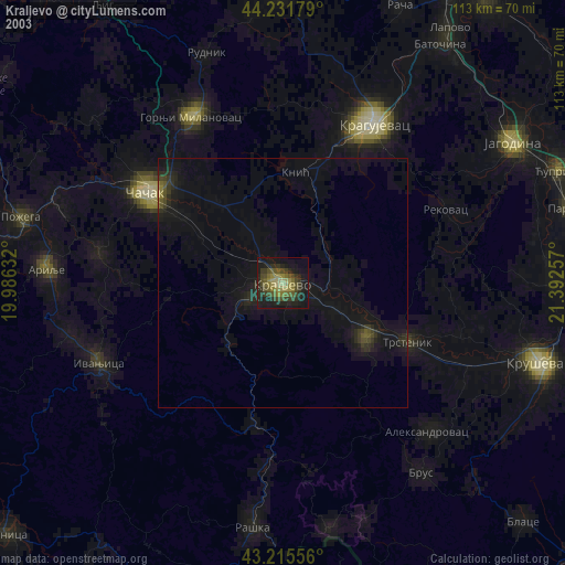
» NASA city lights 2003
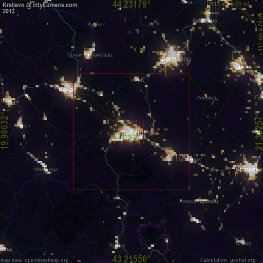
» Earth at Night: Flat Maps 2012, 2016