Kragujevac night lights from space
Night Light of Kragujevac (Central Serbia) from space (Serbia) Src. Average luminocity for 10x10km area is 49.181% and for 50x50km: 3.9487%.
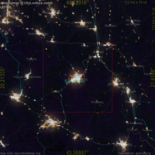
Analysis of Kragujevac night lights 2016
Square area 10x10 km:
 12.06%
90-99
12.7%80-89
3.33%70-79
3.81%60-69
5.71%50-59
6.03%40-49
4.76%30-39
7.46%20-29
16.35%10-19
21.9%0-9
5.87%Square area 50x50 km:
0.61%90-99
0.72%80-89
0.25%70-79
0.28%60-69
0.39%50-59
0.42%40-49
0.7%30-39
0.59%20-29
1.11%10-19
2.61%0-9
92.34%Clear (daylight) street map image can be seen on geolist.org.
Map coordinates:
44° 31' 12.6" North, 20° 12' 48.8" East
44° 1' 0" North, 20° 55' 0" East
43° 30' 31.9" North, 21° 37' 11.3" East
Some cities around Kragujevac sort by population:
• Kraljevo
37.1 km =23.1 mi,  209°
209°
• Jagodina
27.9 km =17.3 mi,  99°
99°
• Smederevska Palanka
38.9 km =24.2 mi,  4°
4°
• Aranđelovac
43 km =26.7 mi,  318°
318°
• Gornji Milanovac
36.4 km =22.6 mi,  271°
271°
• Ćuprija
37.6 km =23.4 mi,  105°
105°
• Lapovo
23.6 km =14.7 mi,  37°
37°
• Paraćin
43 km =26.7 mi, 113°
789128 (p: 147,473)
Sources (retrieved 2019-11-25):
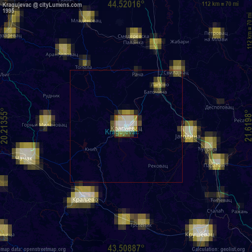
» NASA, Earths city lights 1995
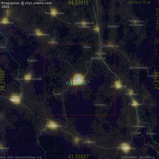
» NASA city lights 2003
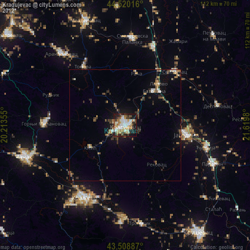
» Earth at Night: Flat Maps 2012, 2016