Jagodina night lights from space
Night Light of Jagodina (Central Serbia) from space (Serbia) Src. Average luminocity for 10x10km area is 24.6825% and for 50x50km: 3.8178%.
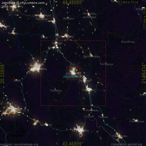
Analysis of Jagodina night lights 2016
Square area 10x10 km:
 4.29%
4.29%90-99
3.97%80-89
1.27%70-79
0.32%60-69
2.86%50-59
6.35%40-49
5.08%30-39
3.33%20-29
3.17%10-19
23.97%0-9
45.4%Square area 50x50 km:
0.48%90-99
0.59%80-89
0.22%70-79
0.22%60-69
0.26%50-59
0.6%40-49
0.69%30-39
0.46%20-29
0.82%10-19
3.6%0-9
92.06%Clear (daylight) street map image can be seen on geolist.org.
Map coordinates:
44° 28' 51.4" North, 20° 33' 29.1" East
43° 58' 37.7" North, 21° 15' 40.4" East
43° 28' 8.4" North, 21° 57' 51.6" East
Some cities around Jagodina sort by population:
• Kragujevac
27.9 km =17.3 mi,  279°
279°
• Kruševac
44.5 km =27.7 mi,  172°
172°
• Trstenik
45.1 km =28 mi,  207°
207°
• Smederevska Palanka
49.5 km =30.8 mi,  330°
330°
• Ćuprija
10.3 km =6.4 mi,  122°
122°
• Vrnjačka Banja
48.7 km =30.3 mi,  216°
216°
• Lapovo
26.5 km =16.5 mi, 330°
• Paraćin
17.5 km =10.9 mi,  137°
137°
789923 (p: 35,589)
Sources (retrieved 2019-11-25):
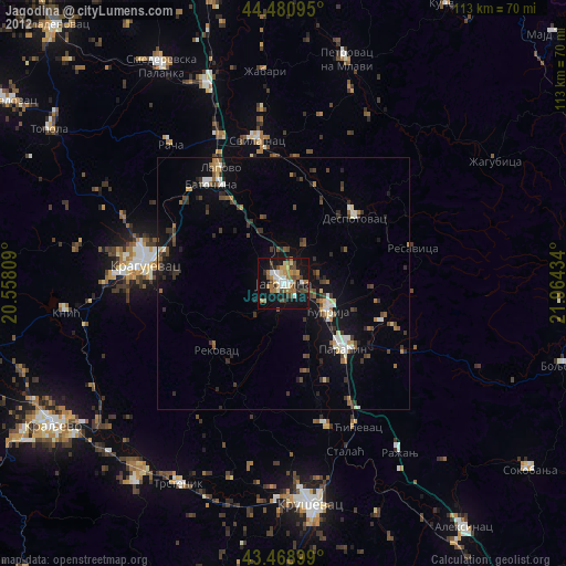
» Earth at Night: Flat Maps 2012, 2016