Smederevska Palanka night lights from space
Night Light of Smederevska Palanka (Central Serbia) from space (Serbia) Src. Average luminocity for 10x10km area is 16.5508% and for 50x50km: 5.7744%.
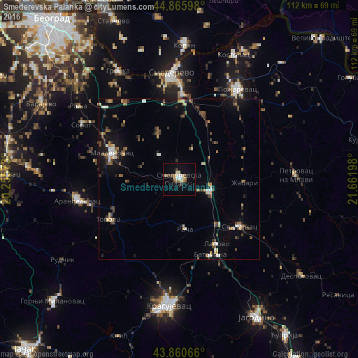
Analysis of Smederevska Palanka night lights 2016
Square area 10x10 km:
 1.9%
1.9%90-99
2.86%80-89
1.59%70-79
2.06%60-69
2.7%50-59
1.59%40-49
2.54%30-39
1.9%20-29
0.48%10-19
6.51%0-9
75.87%Square area 50x50 km:
0.49%90-99
0.74%80-89
0.53%70-79
0.55%60-69
0.65%50-59
0.9%40-49
1.34%30-39
0.97%20-29
0.76%10-19
3.08%0-9
90%Clear (daylight) street map image can be seen on geolist.org.
Map coordinates:
44° 51' 57.5" North, 20° 15' 20.6" East
44° 21' 55.7" North, 20° 57' 31.9" East
43° 51' 38.4" North, 21° 39' 43.1" East
Some cities around Smederevska Palanka sort by population:
• Kragujevac
38.9 km =24.2 mi,  184°
184°
• Požarevac
33.8 km =21 mi,  32°
32°
• Jagodina
49.5 km =30.8 mi,  150°
150°
• Aranđelovac
32.4 km =20.1 mi,  258°
258°
• Gornji Milanovac
54.7 km =34 mi,  226°
226°
• Lazarevac
55.9 km =34.7 mi,  272°
272°
• Kovin
42.5 km =26.4 mi,  1°
1°
• Lapovo
23 km =14.3 mi, 151°
785753 (p: 27,000)
Sources (retrieved 2019-11-25):
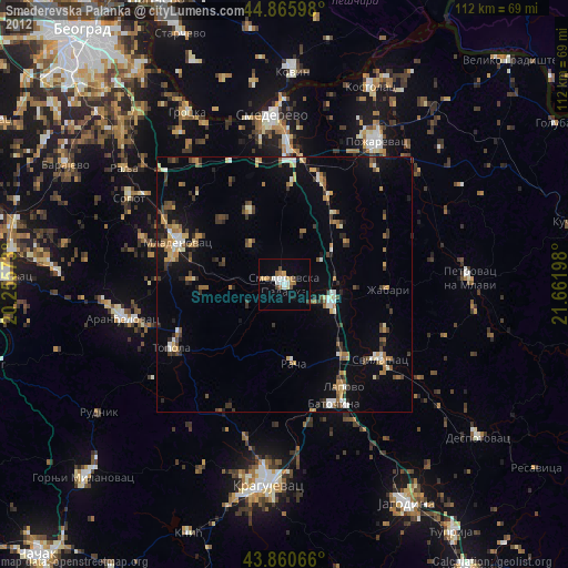
» Earth at Night: Flat Maps 2012, 2016