Požarevac night lights from space
Night Light of Požarevac (Central Serbia) from space (Serbia) Src. Average luminocity for 10x10km area is 29.7333% and for 50x50km: 7.4327%.
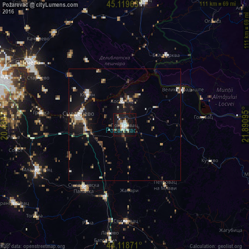
Analysis of Požarevac night lights 2016
Square area 10x10 km:
 5.61%
5.61%90-99
6.52%80-89
2.42%70-79
1.67%60-69
2.88%50-59
1.06%40-49
4.55%30-39
5.3%20-29
4.55%10-19
41.52%0-9
23.94%Square area 50x50 km:
0.88%90-99
1.13%80-89
0.68%70-79
0.57%60-69
0.82%50-59
1%40-49
1.32%30-39
1.14%20-29
1.6%10-19
7.04%0-9
83.82%Clear (daylight) street map image can be seen on geolist.org.
Map coordinates:
45° 7' 10.7" North, 20° 29' 4.9" East
44° 37' 16.8" North, 21° 11' 16.2" East
44° 7' 7.4" North, 21° 53' 27.4" East
Some cities around Požarevac sort by population:
• Pančevo
51.3 km =31.9 mi,  302°
302°
• Smederevo
21.1 km =13.1 mi,  283°
283°
• Smederevska Palanka
33.8 km =21 mi,  212°
212°
• Kovin
21.8 km =13.5 mi,  309°
309°
• Moldova Nouă, RO
40 km =24.9 mi,  71°
71°
• Bela Crkva
35.7 km =22.2 mi,  30°
30°
• Lapovo
49.1 km =30.5 mi,  188°
188°
• Banatski Karlovac
49.5 km =30.8 mi,  344°
344°
786827 (p: 41,736)
Sources (retrieved 2019-11-25):
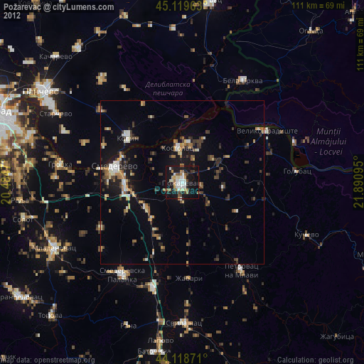
» Earth at Night: Flat Maps 2012, 2016