Čačak night lights from space
Night Light of Čačak (Central Serbia) from space (Serbia) Src. Average luminocity for 10x10km area is 40.7603% and for 50x50km: 4.9141%.
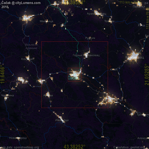
Analysis of Čačak night lights 2016
Square area 10x10 km:
 8.89%
8.89%90-99
11.43%80-89
3.33%70-79
2.86%60-69
1.9%50-59
4.13%40-49
5.08%30-39
6.19%20-29
9.21%10-19
33.02%0-9
13.97%Square area 50x50 km:
0.67%90-99
0.93%80-89
0.34%70-79
0.37%60-69
0.48%50-59
0.72%40-49
0.71%30-39
0.75%20-29
1.08%10-19
3.5%0-9
90.44%Clear (daylight) street map image can be seen on geolist.org.
Map coordinates:
44° 23' 45.4" North, 19° 38' 47.8" East
43° 53' 29" North, 20° 20' 59" East
43° 22' 57.1" North, 21° 3' 10.3" East
Some cities around Čačak sort by population:
• Kragujevac
47.5 km =29.5 mi,  72°
72°
• Kraljevo
32.9 km =20.4 mi,  124°
124°
• Užice
40.3 km =25 mi,  264°
264°
• Aranđelovac
49.2 km =30.6 mi,  19°
19°
• Gornji Milanovac
17.4 km =10.8 mi,  30°
30°
• Lazarevac
55.4 km =34.4 mi,  352°
352°
• Vrnjačka Banja
52.8 km =32.8 mi, 123°
• Arilje
25.5 km =15.8 mi,  232°
232°
792078 (p: 117,072)
Sources (retrieved 2019-11-25):
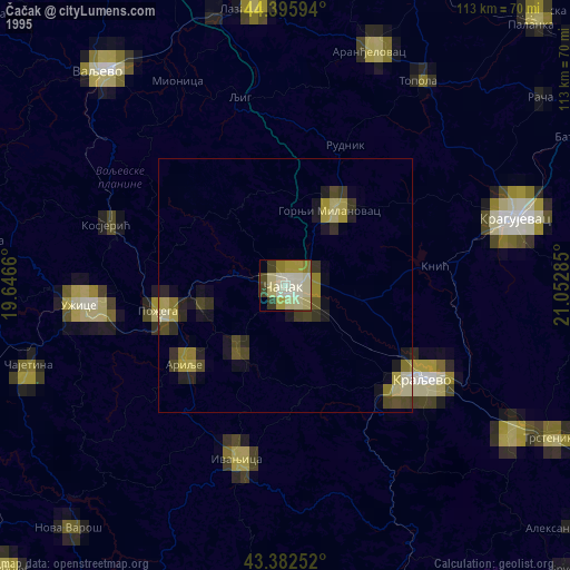
» NASA, Earths city lights 1995
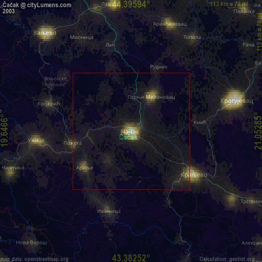
» NASA city lights 2003
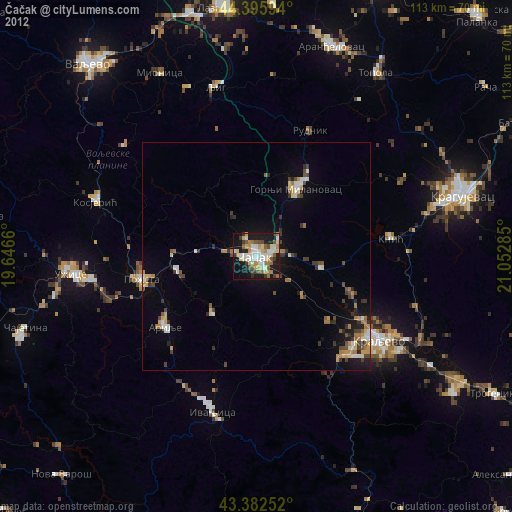
» Earth at Night: Flat Maps 2012, 2016