Ečka night lights from space
Night Light of Ečka (Vojvodina) from space (Serbia) Src. Average luminocity for 10x10km area is 15.5413% and for 50x50km: 4.5005%.
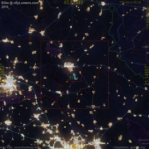
Analysis of Ečka night lights 2016
Square area 10x10 km:
 0.48%
0.48%90-99
1.75%80-89
2.38%70-79
1.59%60-69
1.75%50-59
3.81%40-49
3.65%30-39
0.63%20-29
2.22%10-19
20.32%0-9
61.43%Square area 50x50 km:
0.39%90-99
0.7%80-89
0.42%70-79
0.49%60-69
0.72%50-59
0.84%40-49
0.66%30-39
0.53%20-29
0.61%10-19
2.98%0-9
91.67%Clear (daylight) street map image can be seen on geolist.org.
Map coordinates:
45° 48' 55.8" North, 19° 44' 23.4" East
45° 19' 23.8" North, 20° 26' 34.6" East
44° 49' 36.3" North, 21° 8' 45.9" East
Some cities around Ečka sort by population:
• Zrenjanin
8.2 km =5.1 mi,  324°
324°
• Čurug
33.6 km =20.9 mi,  299°
299°
• Žabalj
30.1 km =18.7 mi,  280°
280°
• Melenci
23.6 km =14.7 mi,  335°
335°
• Kovačica
27.4 km =17 mi,  149°
149°
• Debeljača
30.7 km =19.1 mi,  156°
156°
• Padina
31.8 km =19.8 mi,  135°
135°
• Titel
17.5 km =10.9 mi,  221°
221°
790847 (p: 5,293)
Sources (retrieved 2019-11-25):
» Earth at Night: Flat Maps 2012, 2016