Bečej night lights from space
Night Light of Bečej (Vojvodina) from space (Serbia) Src. Average luminocity for 10x10km area is 12.3061% and for 50x50km: 4.2299%.
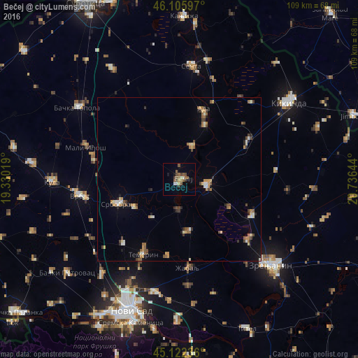
Analysis of Bečej night lights 2016
Square area 10x10 km:
 0.45%
0.45%90-99
1.67%80-89
0.91%70-79
0%60-69
1.97%50-59
5.91%40-49
1.97%30-39
1.06%20-29
1.52%10-19
1.36%0-9
83.18%Square area 50x50 km:
0.26%90-99
0.54%80-89
0.46%70-79
0.67%60-69
0.55%50-59
0.82%40-49
0.61%30-39
0.56%20-29
0.55%10-19
0.65%0-9
94.34%Clear (daylight) street map image can be seen on geolist.org.
Map coordinates:
46° 6' 21.5" North, 19° 19' 48.7" East
45° 36' 58.8" North, 20° 1' 59.9" East
45° 7' 20.5" North, 20° 44' 11.2" East
Some cities around Bečej sort by population:
• Vrbas
30.9 km =19.2 mi,  260°
260°
• Čurug
16.3 km =10.1 mi,  170°
170°
• Bačko Petrovo Selo
10.7 km =6.6 mi,  19°
19°
• Žabalj
27.2 km =16.9 mi, 174°
• Mol
18.2 km =11.3 mi,  25°
25°
• Novo Miloševo
23.9 km =14.9 mi,  61°
61°
• Melenci
24.9 km =15.5 mi,  116°
116°
• Bačko Gradište
9.3 km =5.8 mi,  181°
181°
792814 (p: 25,774)
Sources (retrieved 2019-11-25):
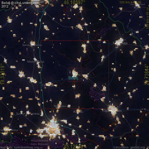
» Earth at Night: Flat Maps 2012, 2016