Vrbas night lights from space
Night Light of Vrbas (Vojvodina) from space (Serbia) Src. Average luminocity for 10x10km area is 15.7621% and for 50x50km: 5.6166%.
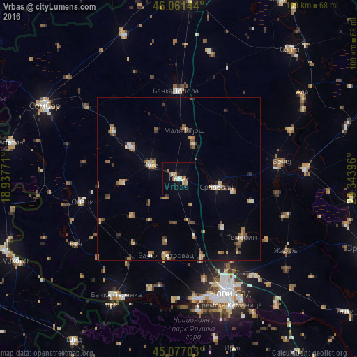
Analysis of Vrbas night lights 2016
Square area 10x10 km:
 1.52%
1.52%90-99
2.27%80-89
2.88%70-79
3.18%60-69
1.36%50-59
0.91%40-49
0.61%30-39
0.91%20-29
1.67%10-19
7.12%0-9
77.58%Square area 50x50 km:
0.37%90-99
0.51%80-89
0.75%70-79
0.85%60-69
0.85%50-59
1.04%40-49
0.75%30-39
0.66%20-29
0.67%10-19
1.35%0-9
92.21%Clear (daylight) street map image can be seen on geolist.org.
Map coordinates:
46° 3' 41.2" North, 18° 56' 15.8" East
45° 34' 17" North, 19° 38' 27" East
45° 4' 37.3" North, 20° 20' 38.3" East
Some cities around Vrbas sort by population:
• Bečej
30.9 km =19.2 mi,  80°
80°
• Bačka Topola
27.1 km =16.8 mi,  358°
358°
• Veternik
36.4 km =22.6 mi,  165°
165°
• Čurug
35.1 km =21.8 mi,  108°
108°
• Bačko Petrovo Selo
37.3 km =23.2 mi,  66°
66°
• Bački Petrovac
23.8 km =14.8 mi,  189°
189°
• Bačko Gradište
30.7 km =19.1 mi,  98°
98°
• Čelarevo
34.7 km =21.6 mi,  195°
195°
3187297 (p: 25,907)
Sources (retrieved 2019-11-25):
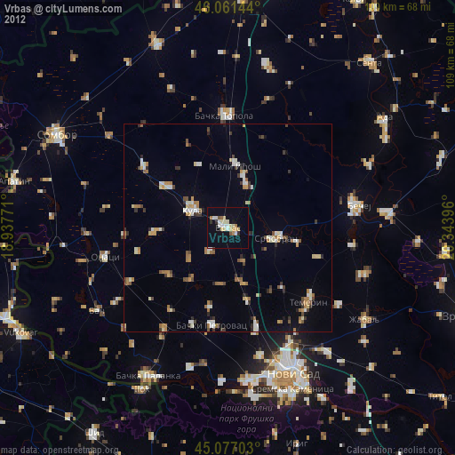
» Earth at Night: Flat Maps 2012, 2016