Târgovişte night lights from space
Night Light of Târgovişte (Dâmboviţa) from space (Romania) Src. Average luminocity for 10x10km area is 30.4016% and for 50x50km: 3.6709%.
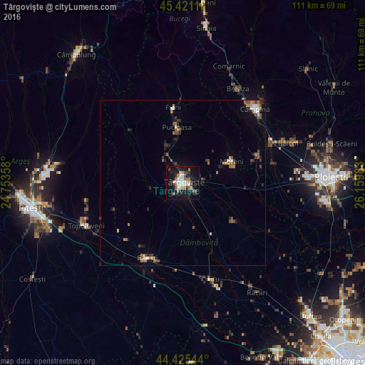
Analysis of Târgovişte night lights 2016
Square area 10x10 km:
 6.51%
6.51%90-99
4.92%80-89
1.9%70-79
4.29%60-69
4.13%50-59
3.02%40-49
1.9%30-39
4.6%20-29
3.33%10-19
36.83%0-9
28.57%Square area 50x50 km:
0.45%90-99
0.44%80-89
0.15%70-79
0.4%60-69
0.68%50-59
0.54%40-49
0.79%30-39
0.45%20-29
0.85%10-19
2.34%0-9
92.92%Clear (daylight) street map image can be seen on geolist.org.
Map coordinates:
45° 25' 16" North, 24° 45' 12.9" East
44° 55' 31.5" North, 25° 27' 24.1" East
44° 25' 31.6" North, 26° 9' 35.4" East
Some cities around Târgovişte sort by population:
• Moreni
16.1 km =10 mi,  66°
66°
• Brăneşti
12.4 km =7.7 mi,  345°
345°
• Răzvad
6.1 km =3.8 mi,  81°
81°
• Dragomireşti
9.8 km =6.1 mi,  264°
264°
• Văcăreşti
8.6 km =5.3 mi,  165°
165°
• Lucieni
8.6 km =5.3 mi,  192°
192°
• Aninoasa
4.9 km =3 mi,  338°
338°
• Comişani
11 km =6.8 mi,  115°
115°
665024 (p: 88,435)
Sources (retrieved 2019-11-25):
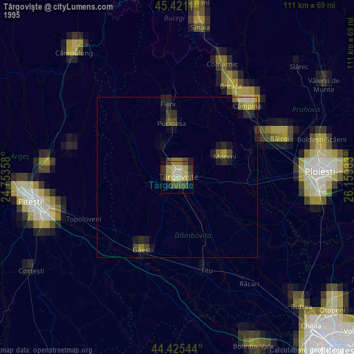
» NASA, Earths city lights 1995
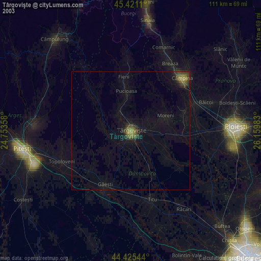
» NASA city lights 2003
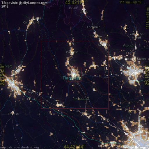
» Earth at Night: Flat Maps 2012, 2016