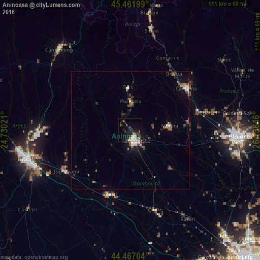
Aninoasa night lights from space
Night Light of Aninoasa (Dâmboviţa) from space (Romania) Src. Average luminocity for 10x10km area is 19.6286% and for 50x50km: 3.2665%.
Analysis of Aninoasa night lights 2016
Square area 10x10 km:
 3.65%
3.65%90-99
2.7%80-89
0.95%70-79
2.38%60-69
2.7%50-59
2.22%40-49
2.54%30-39
2.86%20-29
3.65%10-19
20.79%0-9
55.56%Square area 50x50 km:
0.4%90-99
0.38%80-89
0.13%70-79
0.32%60-69
0.53%50-59
0.39%40-49
0.72%30-39
0.44%20-29
0.87%10-19
2.38%0-9
93.43%Clear (daylight) street map image can be seen on geolist.org.
Map coordinates:
45° 27' 43.2" North, 24° 43' 48.8" East
44° 58' 0" North, 25° 25' 60" East
44° 28' 1.3" North, 26° 8' 11.3" East
Some cities around Aninoasa sort by population:
• Târgovişte
4.9 km =3 mi,  158°
158°
• Pucioasa
12.4 km =7.7 mi,  359°
359°
• Brăneşti
7.5 km =4.7 mi,  349°
349°
• Răzvad
8.7 km =5.4 mi,  115°
115°
• Dragomireşti
9.6 km =6 mi,  234°
234°
• Văcăreşti
13.6 km =8.5 mi, 163°
• Lucieni
13 km =8.1 mi,  180°
180°
• Tătărani
13.6 km =8.5 mi,  285°
285°
686317 (p: 5,907)
Sources (retrieved 2019-11-25):
» Earth at Night: Flat Maps 2012, 2016