Brăneşti night lights from space
Night Light of Brăneşti (Dâmboviţa) from space (Romania) Src. Average luminocity for 10x10km area is 5.6063% and for 50x50km: 2.8919%.
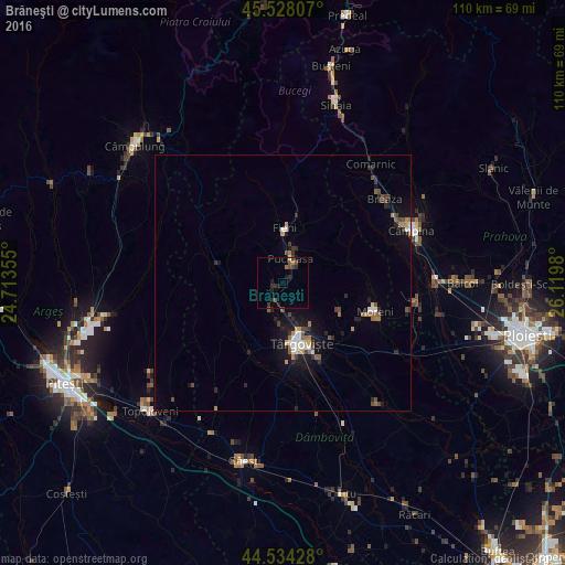
Analysis of Brăneşti night lights 2016
Square area 10x10 km:
 0%
0%90-99
0.32%80-89
0%70-79
0%60-69
1.11%50-59
1.43%40-49
1.75%30-39
1.11%20-29
3.81%10-19
2.86%0-9
87.62%Square area 50x50 km:
0.32%90-99
0.3%80-89
0.1%70-79
0.3%60-69
0.44%50-59
0.4%40-49
0.62%30-39
0.42%20-29
0.86%10-19
2.22%0-9
94.02%Clear (daylight) street map image can be seen on geolist.org.
Map coordinates:
45° 31' 41.1" North, 24° 42' 48.8" East
45° 1' 60" North, 25° 25' 0" East
44° 32' 3.4" North, 26° 7' 11.3" East
Some cities around Brăneşti sort by population:
• Târgovişte
12.4 km =7.7 mi,  165°
165°
• Pucioasa
5.1 km =3.2 mi,  13°
13°
• Răzvad
14.4 km =8.9 mi,  140°
140°
• Fieni
11.1 km =6.9 mi,  0°
0°
• Izvoarele
11.8 km =7.3 mi,  270°
270°
• Voineşti
13.6 km =8.5 mi,  285°
285°
• Aninoasa
7.5 km =4.7 mi, 169°
• Tătărani
12.4 km =7.7 mi,  252°
252°
683884 (p: 9,094)
Sources (retrieved 2019-11-25):
» Earth at Night: Flat Maps 2012, 2016