Moreni night lights from space
Night Light of Moreni (Dâmboviţa) from space (Romania) Src. Average luminocity for 10x10km area is 9.2111% and for 50x50km: 5.0783%.
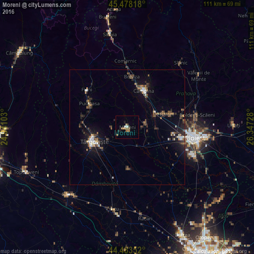
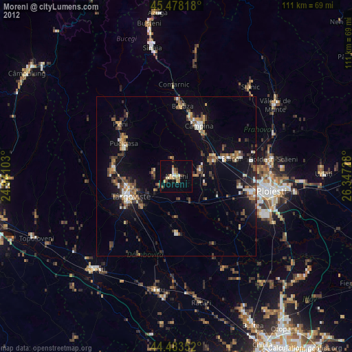
Analysis of Moreni night lights 2016
Square area 10x10 km:
 0.79%
0.79%90-99
1.11%80-89
0.63%70-79
0.95%60-69
2.38%50-59
3.02%40-49
0.63%30-39
0%20-29
1.59%10-19
0.95%0-9
87.94%Square area 50x50 km:
0.54%90-99
0.59%80-89
0.22%70-79
0.43%60-69
0.72%50-59
0.69%40-49
1.19%30-39
0.81%20-29
1.47%10-19
3.92%0-9
89.41%Clear (daylight) street map image can be seen on geolist.org.
Map coordinates:
45° 28' 41.4" North, 24° 56' 27.7" East
44° 58' 58.8" North, 25° 38' 38.9" East
44° 29' 0.7" North, 26° 20' 50.2" East
Some cities around Moreni sort by population:
• Filipeştii de Pădure
8.5 km =5.3 mi,  77°
77°
• Răzvad
10.3 km =6.4 mi,  237°
237°
• Dărmăneşti
13.2 km =8.2 mi,  123°
123°
• Filipeştii de Târg
10.9 km =6.8 mi,  89°
89°
• Floreşti
13.2 km =8.2 mi,  55°
55°
• Bucşani
12.9 km =8 mi,  177°
177°
• Măgureni
11.6 km =7.2 mi,  36°
36°
• Comişani
12.1 km =7.5 mi,  203°
203°
672862 (p: 20,596)
Sources (retrieved 2019-11-25):
» Earth at Night: Flat Maps 2012, 2016