Făgăraș night lights from space
Night Light of Făgăraș (Braşov) from space (Romania) Src. Average luminocity for 10x10km area is 6.1429% and for 50x50km: 0.4275%.
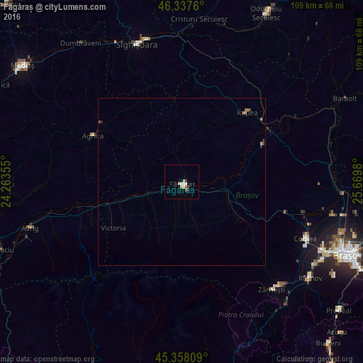
Analysis of Făgăraș night lights 2016
Square area 10x10 km:
 0.89%
0.89%90-99
1.49%80-89
1.19%70-79
0.6%60-69
0.6%50-59
0.6%40-49
0%30-39
1.19%20-29
0.3%10-19
0.3%0-9
92.86%Square area 50x50 km:
0.04%90-99
0.06%80-89
0.07%70-79
0.09%60-69
0.07%50-59
0.04%40-49
0.07%30-39
0.07%20-29
0.07%10-19
0.02%0-9
99.41%Clear (daylight) street map image can be seen on geolist.org.
Map coordinates:
46° 20' 15.4" North, 24° 15' 48.8" East
45° 51' 0" North, 24° 58' 0" East
45° 21' 29.1" North, 25° 40' 11.3" East
Some cities around Făgăraș sort by population:
• Sighișoara
43.4 km =27 mi,  341°
341°
• Zărnești
42.2 km =26.2 mi,  139°
139°
• Codlea
41 km =25.5 mi,  113°
113°
• Agnita
30 km =18.6 mi,  295°
295°
• Victoria
24.4 km =15.2 mi,  236°
236°
• Rupea
28.1 km =17.5 mi,  43°
43°
• Vulcan
42.4 km =26.3 mi,  124°
124°
• Albeşti
43.6 km =27.1 mi,  348°
348°
678499 (p: 30,714)
Sources (retrieved 2019-11-25):
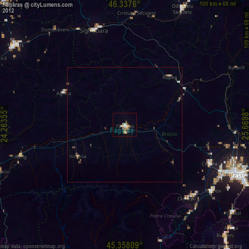
» Earth at Night: Flat Maps 2012, 2016