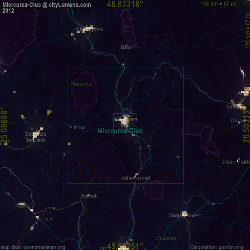
Miercurea-Ciuc night lights from space
Night Light of Miercurea-Ciuc (Harghita) from space (Romania) Src. Average luminocity for 10x10km area is 10.4301% and for 50x50km: 0.5114%.
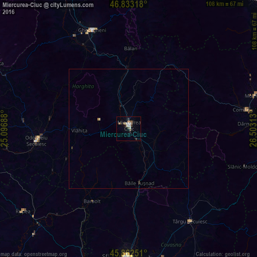
Analysis of Miercurea-Ciuc night lights 2016
Square area 10x10 km:
 1.93%
1.93%90-99
1.64%80-89
1.19%70-79
0.6%60-69
0.3%50-59
2.23%40-49
1.64%30-39
2.38%20-29
0.6%10-19
1.64%0-9
85.86%Square area 50x50 km:
0.08%90-99
0.07%80-89
0.07%70-79
0.02%60-69
0.04%50-59
0.09%40-49
0.07%30-39
0.14%20-29
0.07%10-19
0.07%0-9
99.29%Clear (daylight) street map image can be seen on geolist.org.
Map coordinates:
46° 49' 59.4" North, 25° 5' 48.8" East
46° 21' 0" North, 25° 48' 0" East
45° 51' 45" North, 26° 30' 11.3" East
Some cities around Miercurea-Ciuc sort by population:
• Bălan
33.4 km =20.8 mi,  1°
1°
• Vlăhiţa
21.7 km =13.5 mi,  270°
270°
• Siculeni
8.3 km =5.2 mi,  332°
332°
• Sândominic
26.1 km =16.2 mi,  356°
356°
• Sâncrăieni
5 km =3.1 mi,  142°
142°
• Cârţa
20.7 km =12.9 mi,  349°
349°
• Ghimeş-Făget
33 km =20.5 mi,  38°
38°
• Lunca de Jos
27.9 km =17.3 mi,  30°
30°
673441 (p: 41,282)
Sources (retrieved 2019-11-25):
» Earth at Night: Flat Maps 2012, 2016