San Juan Bautista night lights from space
Night Light of San Juan Bautista (Misiones) from space (Paraguay) Src. Average luminocity for 10x10km area is 13.2311% and for 50x50km: 1.5553%.
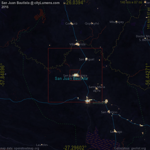
Analysis of San Juan Bautista night lights 2016
Square area 10x10 km:
 1.52%
1.52%90-99
0.76%80-89
3.22%70-79
2.84%60-69
3.03%50-59
0%40-49
0.57%30-39
2.46%20-29
0%10-19
1.7%0-9
83.9%Square area 50x50 km:
0.13%90-99
0.12%80-89
0.4%70-79
0.31%60-69
0.22%50-59
0.09%40-49
0.13%30-39
0.25%20-29
0.17%10-19
0.32%0-9
97.87%Clear (daylight) street map image can be seen on geolist.org.
Map coordinates:
26° 2' 21.8" South, 57° 50' 56.3" West
26° 40' 10" South, 57° 8' 45" West
27° 17' 45.7" South, 56° 26' 33.8" West
Some cities around San Juan Bautista sort by population:
• Formosa, AR
115.6 km =71.8 mi,  297°
297°
• Caazapá
93.6 km =58.2 mi,  55°
55°
• Juan de Ayolas
85.1 km =52.9 mi,  159°
159°
• Paraguarí
116.6 km =72.5 mi,  359°
359°
• Santa Rosa Misiones
38.1 km =23.7 mi,  129°
129°
• Carapeguá
97.1 km =60.3 mi,  354°
354°
• San Pedro del Paraná
95.1 km =59.1 mi,  101°
101°
• Quiindy
77.6 km =48.2 mi, 353°
3437063 (p: 16,593)
Sources (retrieved 2019-11-25):
» Earth at Night: Flat Maps 2012, 2016