Formosa night lights from space
Night Light of Formosa from space (Argentina) Src. Average luminocity for 10x10km area is 68.3393% and for 50x50km: 5.7699%.
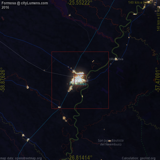
Analysis of Formosa night lights 2016
Square area 10x10 km:
 22.62%
90-99
19.05%80-89
8.93%70-79
3.97%60-69
7.74%50-59
2.78%40-49
7.74%30-39
7.94%20-29
12.3%10-19
6.75%0-9
0.2%Square area 50x50 km:
1.21%90-99
1.13%80-89
0.73%70-79
0.54%60-69
0.65%50-59
0.26%40-49
0.74%30-39
0.69%20-29
1.75%10-19
3.89%0-9
88.41%Clear (daylight) street map image can be seen on geolist.org.
Map coordinates:
25° 33' 8" South, 58° 52' 34.5" West
26° 11' 5.6" South, 58° 10' 23.3" West
26° 48' 50.9" South, 57° 28' 12" West
Some cities around Formosa sort by population:
• Villa Elisa, PY
107.9 km =67 mi,  32°
32°
• San Antonio, PY
105.5 km =65.6 mi,  36°
36°
• Pilar, PY
76.1 km =47.3 mi,  190°
190°
• Pirané
106.2 km =66 mi,  298°
298°
• La Leonesa
108.5 km =67.4 mi,  209°
209°
• Guarambaré, PY
105.4 km =65.5 mi, 42°
• Carapeguá, PY
103.2 km =64.1 mi,  65°
65°
• Quiindy, PY
96.7 km =60.1 mi,  76°
76°
3433899 (p: 221,383)
Sources (retrieved 2019-11-25):
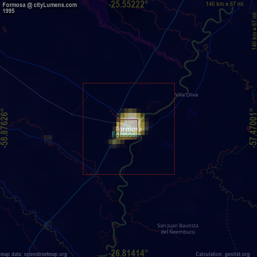
» NASA, Earths city lights 1995
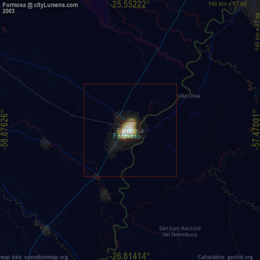
» NASA city lights 2003
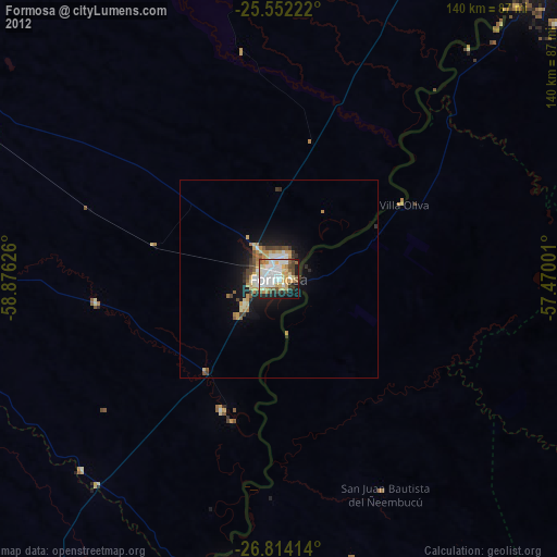
» Earth at Night: Flat Maps 2012, 2016