Pilar night lights from space
Night Light of Pilar (Ñeembucú) from space (Paraguay) Src. Average luminocity for 10x10km area is 26.5377% and for 50x50km: 1.3309%.
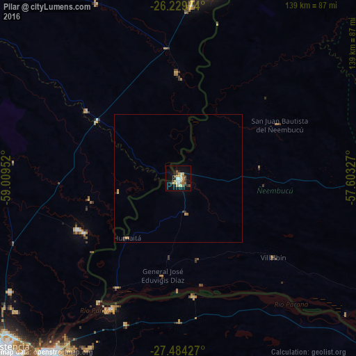
Analysis of Pilar night lights 2016
Square area 10x10 km:
 3.17%
3.17%90-99
4.17%80-89
5.16%70-79
2.78%60-69
3.57%50-59
3.97%40-49
3.57%30-39
1.79%20-29
3.57%10-19
21.03%0-9
47.22%Square area 50x50 km:
0.12%90-99
0.16%80-89
0.23%70-79
0.16%60-69
0.24%50-59
0.15%40-49
0.18%30-39
0.11%20-29
0.18%10-19
0.83%0-9
97.63%Clear (daylight) street map image can be seen on geolist.org.
Map coordinates:
26° 13' 47.1" South, 59° 0' 34.3" West
26° 51' 31.5" South, 58° 18' 23" West
27° 29' 3.4" South, 57° 36' 11.8" West
Some cities around Pilar sort by population:
• Corrientes, AR
85.5 km =53.1 mi,  217°
217°
• Formosa, AR
76.1 km =47.3 mi,  10°
10°
• Barranqueras, AR
93.3 km =58 mi, 222°
• San Luis del Palmar, AR
76.2 km =47.3 mi,  198°
198°
• La Leonesa, AR
44.1 km =27.4 mi,  243°
243°
• Itatí, AR
46.2 km =28.7 mi,  172°
172°
• Paso de la Patria, AR
57.3 km =35.6 mi,  207°
207°
• Margarita Belén, AR
79.7 km =49.5 mi, 235°
3437526 (p: 28,716)
Sources (retrieved 2019-11-25):
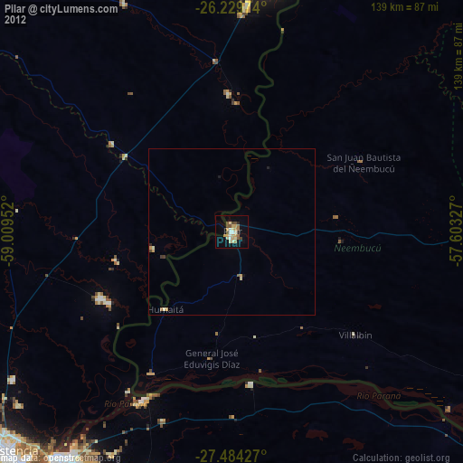
» Earth at Night: Flat Maps 2012, 2016