Porto Murtinho night lights from space
Night Light of Porto Murtinho (Mato Grosso do Sul) from space (Brazil) Src. Average luminocity for 10x10km area is 10.7216% and for 50x50km: 0.4677%.
Analysis of Porto Murtinho night lights 2016
Square area 10x10 km:
 0%
0%90-99
0%80-89
2.46%70-79
3.41%60-69
4.36%50-59
1.14%40-49
0%30-39
0.95%20-29
1.14%10-19
0.19%0-9
86.36%Square area 50x50 km:
0%90-99
0%80-89
0.1%70-79
0.14%60-69
0.18%50-59
0.05%40-49
0%30-39
0.04%20-29
0.05%10-19
0.01%0-9
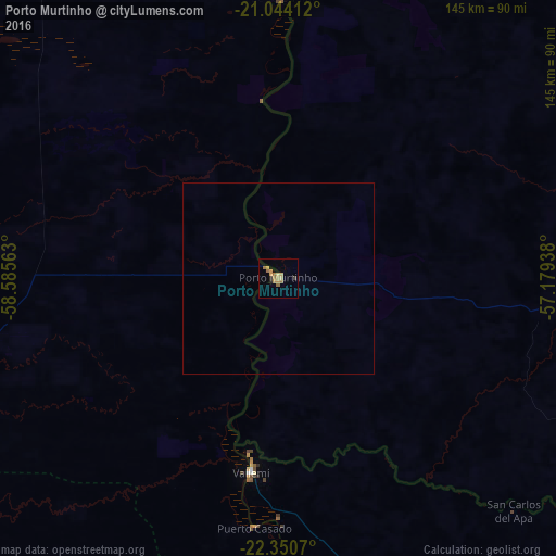
99.43%Clear (daylight) street map image can be seen on geolist.org.
Map coordinates:
21° 2' 38.8" South, 58° 35' 8.3" West
21° 41' 56" South, 57° 52' 57" West
22° 21' 2.5" South, 57° 10' 45.8" West
Some cities around Porto Murtinho sort by population:
• Concepción, PY
194.7 km =121 mi,  166°
166°
• Jardim
182 km =113.1 mi,  82°
82°
• Bela Vista
147.7 km =91.8 mi,  107°
107°
• Bonito
158.6 km =98.5 mi,  66°
66°
• Horqueta, PY
201.4 km =125.1 mi,  155°
155°
• Guia Lopes da Laguna
184.8 km =114.8 mi, 81°
• Bella Vista, PY
148.9 km =92.5 mi, 108°
• Fuerte Olimpo, PY
73.1 km =45.4 mi,  0°
0°
3452712 (p: 12,667)
Sources (retrieved 2019-11-25):
» Earth at Night: Flat Maps 2012, 2016