Vila Nova de Gaia night lights from space
Night Light of Vila Nova de Gaia (Porto) from space (Portugal) Src. Average luminocity for 10x10km area is 97.2435% and for 50x50km: 45.4139%.
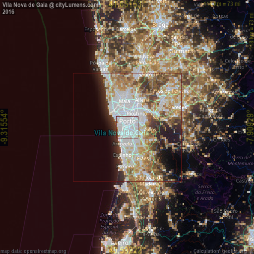
Analysis of Vila Nova de Gaia night lights 2016
Square area 10x10 km:
 75.97%
90-99
18.34%80-89
0.81%70-79
0.49%60-69
1.46%50-59
0%40-49
1.3%30-39
1.62%20-29
0%10-19
0%0-9
0%Square area 50x50 km:
13.75%90-99
10.24%80-89
5%70-79
6.76%60-69
6.81%50-59
4.57%40-49
4.11%30-39
4.07%20-29
5.04%10-19
6.36%0-9
33.29%Clear (daylight) street map image can be seen on geolist.org.
Map coordinates:
41° 39' 5.5" North, 9° 18' 55.9" West
41° 7' 26.4" North, 8° 36' 44.7" West
40° 35' 32" North, 7° 54' 33.4" West
Some cities around Vila Nova de Gaia sort by population:
• Porto
2.8 km =1.7 mi,  2°
2°
• Canidelo
2.9 km =1.8 mi,  268°
268°
• Oliveira do Douro
2.3 km =1.4 mi,  88°
88°
• Vilar de Andorinho
3 km =1.9 mi,  132°
132°
• Vilar do Paraíso
3.9 km =2.4 mi,  190°
190°
• Valbom
4.3 km =2.7 mi,  82°
82°
• Canelas
4.6 km =2.9 mi,  167°
167°
• Gulpilhares
4.7 km =2.9 mi, 194°
2732544 (p: 70,811)
Sources (retrieved 2019-11-25):
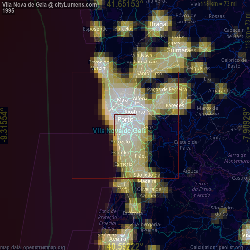
» NASA, Earths city lights 1995
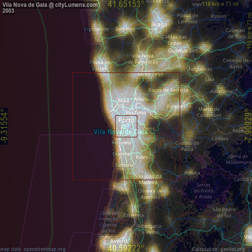
» NASA city lights 2003
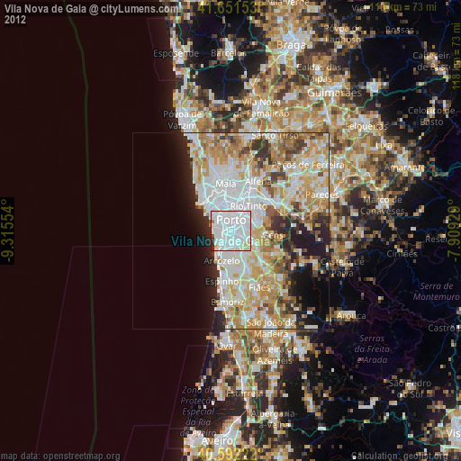
» Earth at Night: Flat Maps 2012, 2016