Canidelo night lights from space
Night Light of Canidelo (Porto) from space (Portugal) Src. Average luminocity for 10x10km area is 78.8864% and for 50x50km: 42.9986%.
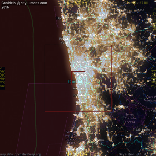
Analysis of Canidelo night lights 2016
Square area 10x10 km:
 54.38%
90-99
14.77%80-89
0.32%70-79
0.49%60-69
2.11%50-59
0.16%40-49
3.08%30-39
9.74%20-29
9.58%10-19
5.19%0-9
0.16%Square area 50x50 km:
13.49%90-99
9.75%80-89
4.68%70-79
6.16%60-69
6.32%50-59
4.3%40-49
3.9%30-39
3.81%20-29
4.44%10-19
5.66%0-9
37.49%Clear (daylight) street map image can be seen on geolist.org.
Map coordinates:
41° 39' 2.4" North, 9° 20' 58.8" West
41° 7' 23.3" North, 8° 38' 47.5" West
40° 35' 28.8" North, 7° 56' 36.3" West
Some cities around Canidelo sort by population:
• Porto
4.2 km =2.6 mi,  45°
45°
• Vila Nova de Gaia
2.9 km =1.8 mi,  88°
88°
• Oliveira do Douro
5.2 km =3.2 mi, 88°
• Vilar de Andorinho
5.4 km =3.4 mi,  110°
110°
• Vilar do Paraíso
4.3 km =2.7 mi,  150°
150°
• Azenha
5.5 km =3.4 mi,  160°
160°
• Foz do Douro
3.7 km =2.3 mi,  326°
326°
• Gulpilhares
4.8 km =3 mi, 159°
2741551 (p: 26,431)
Sources (retrieved 2019-11-25):
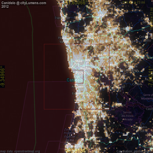
» Earth at Night: Flat Maps 2012, 2016