Senhora da Hora night lights from space
Night Light of Senhora da Hora (Porto) from space (Portugal) Src. Average luminocity for 10x10km area is 94.4578% and for 50x50km: 45.648%.
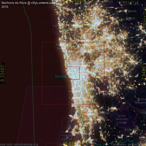
Analysis of Senhora da Hora night lights 2016
Square area 10x10 km:
 75.16%
90-99
15.75%80-89
0.65%70-79
0.16%60-69
1.14%50-59
0.16%40-49
0.97%30-39
3.73%20-29
2.27%10-19
0%0-9
0%Square area 50x50 km:
14.22%90-99
10.56%80-89
5.11%70-79
6.53%60-69
7.12%50-59
4.6%40-49
3.9%30-39
3.81%20-29
4.04%10-19
5.08%0-9
35.02%Clear (daylight) street map image can be seen on geolist.org.
Map coordinates:
41° 42' 48.3" North, 9° 21' 17.5" West
41° 11' 11.1" North, 8° 39' 6.2" West
40° 39' 18.4" North, 7° 56' 55" West
Some cities around Senhora da Hora sort by population:
• Porto
5.3 km =3.3 mi,  140°
140°
• Matosinhos
3.2 km =2 mi,  261°
261°
• São Mamede de Infesta
3.5 km =2.2 mi,  79°
79°
• Leça da Palmeira
4.1 km =2.5 mi,  277°
277°
• Leça do Bailio
3.2 km =2 mi,  27°
27°
• Foz do Douro
4.2 km =2.6 mi,  202°
202°
• Guifões
1.9 km =1.2 mi,  310°
310°
• Santa Cruz do Bispo
3.7 km =2.3 mi,  329°
329°
2734140 (p: 28,930)
Sources (retrieved 2019-11-25):
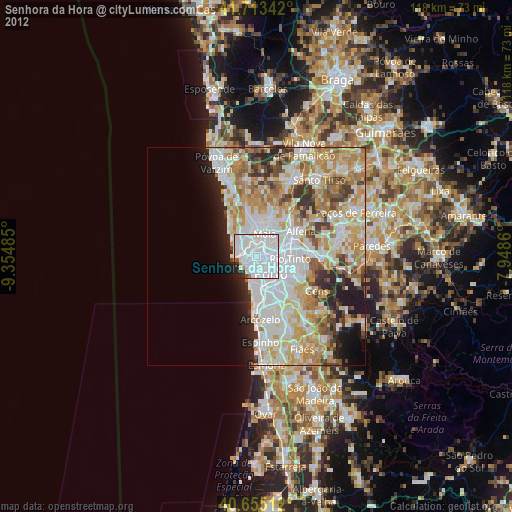
» Earth at Night: Flat Maps 2012, 2016