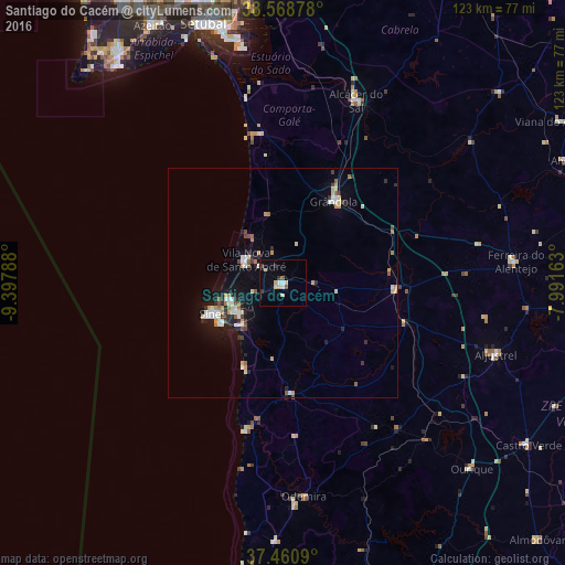
Santiago do Cacém night lights from space
Night Light of Santiago do Cacém (District of Setúbal) from space (Portugal) Src. Average luminocity for 10x10km area is 10.4919% and for 50x50km: 4.2547%.
Analysis of Santiago do Cacém night lights 2016
Square area 10x10 km:
 0.97%
0.97%90-99
2.27%80-89
2.44%70-79
0.49%60-69
0%50-59
1.3%40-49
0.65%30-39
0.97%20-29
0.97%10-19
1.3%0-9
88.64%Square area 50x50 km:
0.59%90-99
0.64%80-89
0.56%70-79
0.61%60-69
0.33%50-59
0.42%40-49
0.37%30-39
0.35%20-29
1%10-19
2.72%0-9
92.42%Clear (daylight) street map image can be seen on geolist.org.
Map coordinates:
38° 34' 7.6" North, 9° 23' 52.4" West
38° 1' 0.9" North, 8° 41' 41.1" West
37° 27' 39.2" North, 7° 59' 29.9" West
Some cities around Santiago do Cacém sort by population:
• Setúbal
58.9 km =36.6 mi,  343°
343°
• Sesimbra
59.3 km =36.8 mi,  323°
323°
• Sines
16.8 km =10.4 mi,  246°
246°
• Grândola
21 km =13 mi,  32°
32°
• Santo André
9.1 km =5.7 mi,  302°
302°
• Alcácer do Sal
42.6 km =26.5 mi,  21°
21°
• Odemira
46.8 km =29.1 mi,  174°
174°
• Aljustrel
49 km =30.4 mi,  108°
108°
2263458 (p: 7,797)
Sources (retrieved 2019-11-25):
» Earth at Night: Flat Maps 2012, 2016