Sesimbra night lights from space
Night Light of Sesimbra (District of Setúbal) from space (Portugal) Src. Average luminocity for 10x10km area is 31.6802% and for 50x50km: 20.5393%.
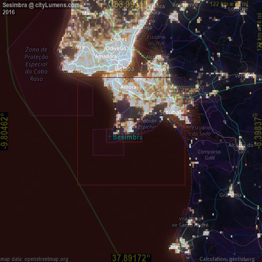
Analysis of Sesimbra night lights 2016
Square area 10x10 km:
 3.9%
3.9%90-99
7.47%80-89
2.6%70-79
6.01%60-69
4.87%50-59
3.73%40-49
1.3%30-39
2.6%20-29
7.95%10-19
28.73%0-9
30.84%Square area 50x50 km:
4.39%90-99
5.44%80-89
2.23%70-79
2.82%60-69
3.01%50-59
2.01%40-49
1.27%30-39
2.09%20-29
5.59%10-19
6.35%0-9
64.81%Clear (daylight) street map image can be seen on geolist.org.
Map coordinates:
38° 59' 35.2" North, 9° 48' 16.6" West
38° 26' 40.2" North, 9° 6' 5.4" West
37° 53' 30.2" North, 8° 23' 54.1" West
Some cities around Sesimbra sort by population:
• Setúbal
20.6 km =12.8 mi,  64°
64°
• Amora
20.6 km =12.8 mi,  356°
356°
• Arrentela
20.1 km =12.5 mi, 359°
• Quinta Do Conde
14.4 km =8.9 mi,  20°
20°
• Azeitão
11.3 km =7 mi,  42°
42°
• Aldeia de Paio Pires
19.2 km =11.9 mi,  4°
4°
• Santo António da Charneca
21.1 km =13.1 mi, 17°
• Quinta do Anjo
19.5 km =12.1 mi,  45°
45°
2262957 (p: 41,134)
Sources (retrieved 2019-11-25):
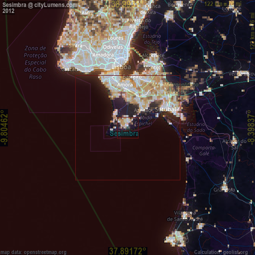
» Earth at Night: Flat Maps 2012, 2016