Setúbal night lights from space
Night Light of Setúbal (District of Setúbal) from space (Portugal) Src. Average luminocity for 10x10km area is 58.4984% and for 50x50km: 26.91%.
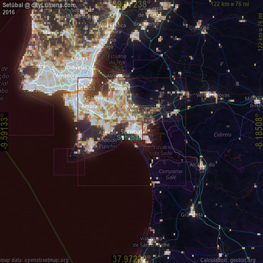
Analysis of Setúbal night lights 2016
Square area 10x10 km:
 15.58%
90-99
18.51%80-89
5.03%70-79
4.55%60-69
4.55%50-59
4.22%40-49
4.38%30-39
10.23%20-29
20.29%10-19
10.71%0-9
1.95%Square area 50x50 km:
5.21%90-99
6.68%80-89
2.95%70-79
3.61%60-69
4.01%50-59
3.03%40-49
2.41%30-39
3.77%20-29
6.92%10-19
6.9%0-9
54.52%Clear (daylight) street map image can be seen on geolist.org.
Map coordinates:
39° 4' 20.6" North, 9° 35' 28.8" West
38° 31' 27.8" North, 8° 53' 17.5" West
37° 58' 20" North, 8° 11' 6.3" West
Some cities around Setúbal sort by population:
• Quinta Do Conde
14.2 km =8.8 mi,  288°
288°
• Pinhal Novo
12.1 km =7.5 mi,  349°
349°
• Azeitão
11 km =6.8 mi,  266°
266°
• Moita
16.6 km =10.3 mi,  327°
327°
• Palmela
5.1 km =3.2 mi, 347°
• Alhos Vedros
18.7 km =11.6 mi,  320°
320°
• Santo António da Charneca
16.7 km =10.4 mi,  312°
312°
• Quinta do Anjo
6.7 km =4.2 mi, 315°
2262963 (p: 117,110)
Sources (retrieved 2019-11-25):
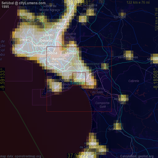
» NASA, Earths city lights 1995
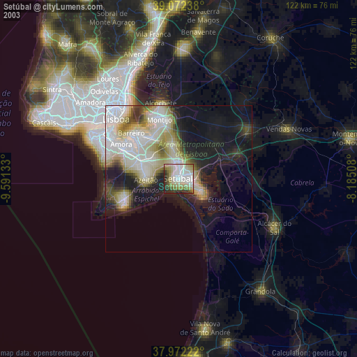
» NASA city lights 2003
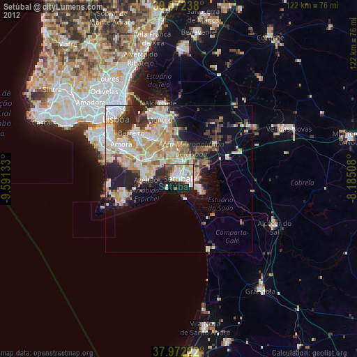
» Earth at Night: Flat Maps 2012, 2016