Aljustrel night lights from space
Night Light of Aljustrel (Beja) from space (Portugal) Src. Average luminocity for 10x10km area is 8.1201% and for 50x50km: 2.1055%.
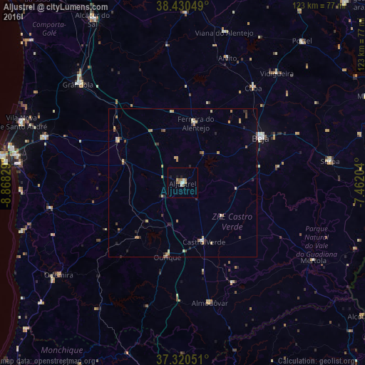
Analysis of Aljustrel night lights 2016
Square area 10x10 km:
 1.3%
1.3%90-99
1.3%80-89
0.65%70-79
0%60-69
2.27%50-59
1.95%40-49
0.32%30-39
0%20-29
0.81%10-19
1.14%0-9
90.26%Square area 50x50 km:
0.14%90-99
0.11%80-89
0.51%70-79
0.33%60-69
0.47%50-59
0.27%40-49
0.16%30-39
0.22%20-29
0.54%10-19
0.26%0-9
96.99%Clear (daylight) street map image can be seen on geolist.org.
Map coordinates:
38° 25' 49.8" North, 8° 52' 5.8" West
37° 52' 39.3" North, 8° 9' 54.6" West
37° 19' 13.8" North, 7° 27' 43.3" West
Some cities around Aljustrel sort by population:
• Beja
30.6 km =19 mi,  59°
59°
• Grândola
48.4 km =30.1 mi,  313°
313°
• Santiago do Cacém
49 km =30.4 mi,  288°
288°
• Almodôvar
41.6 km =25.8 mi,  167°
167°
• Mértola
51.4 km =31.9 mi,  120°
120°
• Serpa
50.4 km =31.3 mi,  81°
81°
• Vidigueira
48.8 km =30.3 mi,  40°
40°
• Odemira
52 km =32.3 mi,  233°
233°
2271965 (p: 5,334)
Sources (retrieved 2019-11-25):
» Earth at Night: Flat Maps 2012, 2016