Linda-a-Velha night lights from space
Night Light of Linda-a-Velha (Lisbon) from space (Portugal) Src. Average luminocity for 10x10km area is 88.3112% and for 50x50km: 48.1526%.
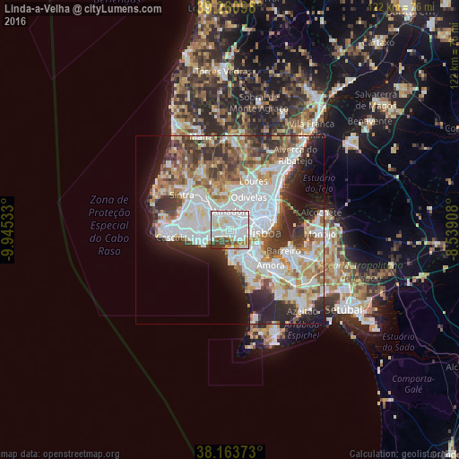
Analysis of Linda-a-Velha night lights 2016
Square area 10x10 km:
 48.81%
90-99
22.79%80-89
7.31%70-79
4.59%60-69
2.21%50-59
4.08%40-49
5.61%30-39
4.59%20-29
0%10-19
0%0-9
0%Square area 50x50 km:
15.14%90-99
11.77%80-89
4.31%70-79
4.65%60-69
5.97%50-59
4.94%40-49
5.22%30-39
6.3%20-29
8.43%10-19
7.82%0-9
25.46%Clear (daylight) street map image can be seen on geolist.org.
Map coordinates:
39° 15' 39.5" North, 9° 56' 43.2" West
38° 42' 52.1" North, 9° 14' 31.9" West
38° 9' 49.4" North, 8° 32' 20.7" West
Some cities around Linda-a-Velha sort by population:
• Amadora
4.5 km =2.8 mi,  12°
12°
• Carnaxide
1.5 km =0.9 mi,  344°
344°
• Algés
1.7 km =1.1 mi,  140°
140°
• Alfragide
2.8 km =1.7 mi,  45°
45°
• Barcarena
3.8 km =2.4 mi,  301°
301°
• Caxias
3.2 km =2 mi,  247°
247°
• Queijas
1.8 km =1.1 mi,  286°
286°
• Trafaria
4.8 km =3 mi,  170°
170°
2267067 (p: 20,895)
Sources (retrieved 2019-11-25):
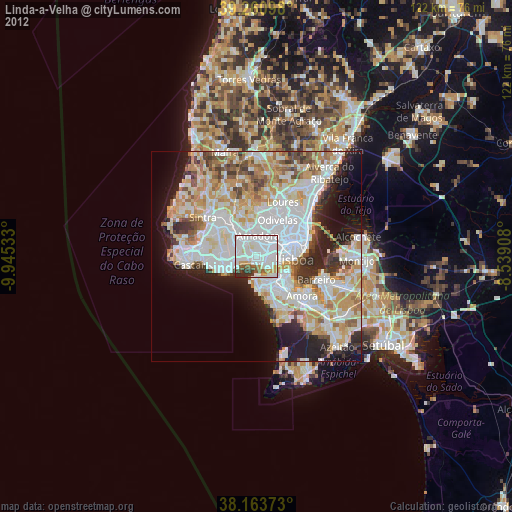
» Earth at Night: Flat Maps 2012, 2016