Barcarena night lights from space
Night Light of Barcarena (Lisbon) from space (Portugal) Src. Average luminocity for 10x10km area is 95.5153% and for 50x50km: 46.4884%.
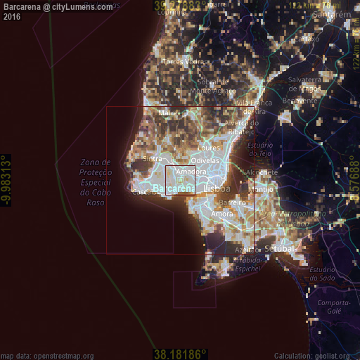
Analysis of Barcarena night lights 2016
Square area 10x10 km:
 48.3%
48.3%90-99
36.39%80-89
10.2%70-79
1.02%60-69
0.51%50-59
2.38%40-49
1.19%30-39
0%20-29
0%10-19
0%0-9
0%Square area 50x50 km:
14.78%90-99
11.07%80-89
4.16%70-79
4.59%60-69
5.78%50-59
4.88%40-49
5.17%30-39
6.39%20-29
7.84%10-19
6.75%0-9
28.61%Clear (daylight) street map image can be seen on geolist.org.
Map coordinates:
39° 16' 43.8" North, 9° 58' 59.3" West
38° 43' 56.8" North, 9° 16' 48" West
38° 10' 54.7" North, 8° 34' 36.8" West
Some cities around Barcarena sort by population:
• Queluz
3.5 km =2.2 mi,  39°
39°
• Cacém
4.1 km =2.5 mi,  337°
337°
• Massamá
2.3 km =1.4 mi,  357°
357°
• Carnaxide
2.9 km =1.8 mi,  101°
101°
• Linda-a-Velha
3.8 km =2.4 mi,  121°
121°
• Porto Salvo
2.4 km =1.5 mi,  243°
243°
• Caxias
3.3 km =2.1 mi,  174°
174°
• Queijas
2.1 km =1.3 mi,  134°
134°
2271140 (p: 11,968)
Sources (retrieved 2019-11-25):
» Earth at Night: Flat Maps 2012, 2016