Carnaxide night lights from space
Night Light of Carnaxide (Lisbon) from space (Portugal) Src. Average luminocity for 10x10km area is 93.966% and for 50x50km: 48.7718%.
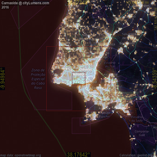
Analysis of Carnaxide night lights 2016
Square area 10x10 km:
 57.99%
90-99
25.85%80-89
5.95%70-79
2.38%60-69
0.68%50-59
3.4%40-49
3.4%30-39
0.34%20-29
0%10-19
0%0-9
0%Square area 50x50 km:
15.15%90-99
11.78%80-89
4.5%70-79
4.9%60-69
6.14%50-59
5.03%40-49
5.34%30-39
6.53%20-29
8.45%10-19
7.5%0-9
24.7%Clear (daylight) street map image can be seen on geolist.org.
Map coordinates:
39° 16' 24.5" North, 9° 56' 59.4" West
38° 43' 37.4" North, 9° 14' 48.2" West
38° 10' 35.1" North, 8° 32' 36.9" West
Some cities around Carnaxide sort by population:
• Amadora
3.3 km =2.1 mi,  24°
24°
• Queluz
3.4 km =2.1 mi,  348°
348°
• Linda-a-Velha
1.5 km =0.9 mi,  164°
164°
• Algés
3.1 km =1.9 mi,  151°
151°
• Alfragide
2.4 km =1.5 mi,  76°
76°
• Barcarena
2.9 km =1.8 mi,  281°
281°
• Caxias
3.7 km =2.3 mi,  224°
224°
• Queijas
1.6 km =1 mi,  237°
237°
2270157 (p: 23,698)
Sources (retrieved 2019-11-25):
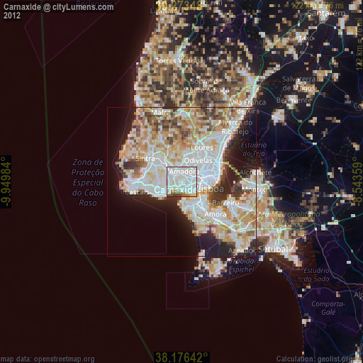
» Earth at Night: Flat Maps 2012, 2016