Leiria night lights from space
Night Light of Leiria from space (Portugal) Src. Average luminocity for 10x10km area is 66.4886% and for 50x50km: 23.9213%.
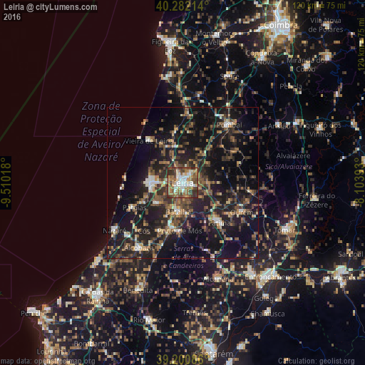
Analysis of Leiria night lights 2016
Square area 10x10 km:
 11.53%
90-99
14.61%80-89
6.17%70-79
8.6%60-69
15.91%50-59
16.72%40-49
11.04%30-39
11.69%20-29
3.73%10-19
0%0-9
0%Square area 50x50 km:
1.52%90-99
2.67%80-89
1.81%70-79
2.4%60-69
3.72%50-59
5.34%40-49
4.62%30-39
5.42%20-29
10.16%10-19
25.32%0-9
37.02%Clear (daylight) street map image can be seen on geolist.org.
Map coordinates:
40° 16' 55.7" North, 9° 30' 36.6" West
39° 44' 37" North, 8° 48' 25.4" West
39° 12' 3.1" North, 8° 6' 14.1" West
Some cities around Leiria sort by population:
• Marinha Grande
10.7 km =6.6 mi,  272°
272°
• Maceira
9.6 km =6 mi,  230°
230°
• Batalha
9.4 km =5.8 mi,  189°
189°
• Porto de Mós
15.8 km =9.8 mi,  183°
183°
• Vieira de Leiria
17.6 km =10.9 mi,  322°
322°
• Monte Real
13 km =8.1 mi,  338°
338°
• Pataias
18.1 km =11.2 mi,  243°
243°
• Caranguejeira
8.5 km =5.3 mi,  88°
88°
2267095 (p: 45,112)
Sources (retrieved 2019-11-25):
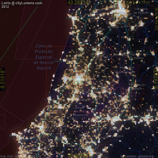
» Earth at Night: Flat Maps 2012, 2016