Amora night lights from space
Night Light of Amora (District of Setúbal) from space (Portugal) Src. Average luminocity for 10x10km area is 85.0227% and for 50x50km: 44.3082%.
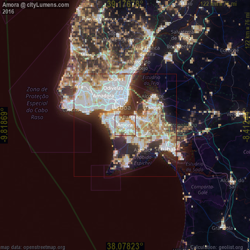

Analysis of Amora night lights 2016
Square area 10x10 km:
 28.9%
28.9%90-99
29.22%80-89
9.09%70-79
9.9%60-69
10.88%50-59
3.41%40-49
7.63%30-39
0.97%20-29
0%10-19
0%0-9
0%Square area 50x50 km:
14.71%90-99
11.53%80-89
3.87%70-79
4.59%60-69
5.13%50-59
3.74%40-49
2.93%30-39
4.07%20-29
8.06%10-19
8.86%0-9
32.51%Clear (daylight) street map image can be seen on geolist.org.
Map coordinates:
39° 10' 36.4" North, 9° 49' 7.3" West
38° 37' 46.6" North, 9° 6' 56.1" West
38° 4' 41.6" North, 8° 24' 44.8" West
Some cities around Amora sort by population:
• Corroios
3.3 km =2.1 mi,  290°
290°
• Barreiro
5.3 km =3.3 mi,  45°
45°
• Almada
6.6 km =4.1 mi,  326°
326°
• Arrentela
1.3 km =0.8 mi,  112°
112°
• Laranjeira
4.4 km =2.7 mi,  311°
311°
• Piedade
5.8 km =3.6 mi,  320°
320°
• Aldeia de Paio Pires
3.1 km =1.9 mi,  117°
117°
• Sobreda
6.8 km =4.2 mi, 289°
2271680 (p: 52,577)
Sources (retrieved 2019-11-25):
» NASA, Earths city lights 1995
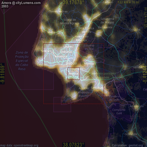
» NASA city lights 2003
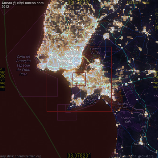
» Earth at Night: Flat Maps 2012, 2016