Foz do Douro night lights from space
Night Light of Foz do Douro (Porto) from space (Portugal) Src. Average luminocity for 10x10km area is 71.3994% and for 50x50km: 42.2106%.
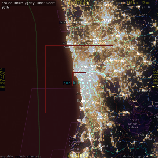
Analysis of Foz do Douro night lights 2016
Square area 10x10 km:
 45.62%
90-99
15.42%80-89
0.65%70-79
0.49%60-69
1.46%50-59
0.16%40-49
2.6%30-39
8.93%20-29
11.85%10-19
8.93%0-9
3.9%Square area 50x50 km:
13.64%90-99
9.7%80-89
4.53%70-79
5.53%60-69
6.49%50-59
4.21%40-49
3.87%30-39
3.5%20-29
4.08%10-19
4.8%0-9
39.65%Clear (daylight) street map image can be seen on geolist.org.
Map coordinates:
41° 40' 42.6" North, 9° 22' 27.7" West
41° 9' 4.3" North, 8° 40' 16.5" West
40° 37' 10.6" North, 7° 58' 5.2" West
Some cities around Foz do Douro sort by population:
• Porto
5 km =3.1 mi,  91°
91°
• Vila Nova de Gaia
5.8 km =3.6 mi,  121°
121°
• Senhora da Hora
4.2 km =2.6 mi,  22°
22°
• Matosinhos
3.7 km =2.3 mi,  336°
336°
• Canidelo
3.7 km =2.3 mi,  146°
146°
• São Mamede de Infesta
6.8 km =4.2 mi,  48°
48°
• Leça da Palmeira
5 km =3.1 mi,  331°
331°
• Guifões
5.2 km =3.2 mi,  2°
2°
2739336 (p: 10,997)
Sources (retrieved 2019-11-25):
» Earth at Night: Flat Maps 2012, 2016