Belas night lights from space
Night Light of Belas (Lisbon) from space (Portugal) Src. Average luminocity for 10x10km area is 93.0272% and for 50x50km: 49.9159%.

Analysis of Belas night lights 2016
Square area 10x10 km:
100  47.62%
90-99 29.93%
80-89 8.5%
70-79 5.27%
60-69 5.44%
50-59 2.55%
40-49 0.68%
30-39 0%
20-29 0%
10-19 0%
0-9 0%
47.62%90-99
29.93%80-89
8.5%70-79
5.27%60-69
5.44%50-59
2.55%40-49
0.68%30-39
0%20-29
0%10-19
0%0-9
0%Square area 50x50 km:
100 15.01%
90-99 11.76%
80-89 4.61%
70-79 4.92%
60-69 6.62%
50-59 5.65%
40-49 5.78%
30-39 7.28%
20-29 8.99%
10-19 7.17%
0-9 22.21%
15.01%90-99
11.76%80-89
4.61%70-79
4.92%60-69
6.62%50-59
5.65%40-49
5.78%30-39
7.28%20-29
8.99%10-19
7.17%0-9
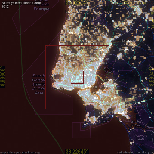
22.21%Clear (daylight) street map image can be seen on geolist.org.
Map coordinates:
39° 19' 21.9" North, 9° 57' 60" West
38° 46' 36.1" North, 9° 15' 48.7" West
38° 13' 35.2" North, 8° 33' 37.5" West
Some cities around Belas sort by population:
• Amadora
3.8 km =2.4 mi,  131°
131°
• Queluz
2.4 km =1.5 mi,  160°
160°
• Cacém
3.2 km =2 mi,  250°
250°
• Massamá
3.1 km =1.9 mi,  209°
209°
• Pontinha
5.7 km =3.5 mi,  100°
100°
• Barcarena
5.1 km =3.2 mi,  196°
196°
• Caneças
5.2 km =3.2 mi,  38°
38°
• Famões
4.8 km =3 mi,  74°
74°
2270981 (p: 21,019)
Sources (retrieved 2019-11-25):
» Earth at Night: Flat Maps 2012, 2016