Ponce night lights from space
Night Light of Ponce from space (Puerto Rico) Src. Average luminocity for 10x10km area is 80.026% and for 50x50km: 15.6792%.
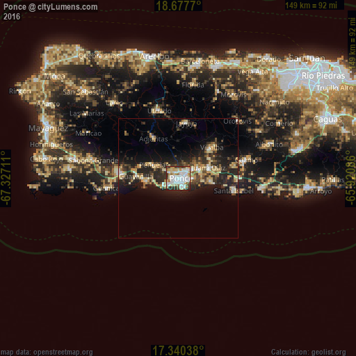

Analysis of Ponce night lights 2016
Square area 10x10 km:
 25.54%
90-99
25.32%80-89
15.58%70-79
6.28%60-69
6.71%50-59
1.52%40-49
6.28%30-39
7.58%20-29
5.19%10-19
0%0-9
0%Square area 50x50 km:
1.62%90-99
1.93%80-89
2.97%70-79
2.19%60-69
1.84%50-59
1.35%40-49
2.06%30-39
3.71%20-29
6.85%10-19
10.07%0-9
65.41%Clear (daylight) street map image can be seen on geolist.org.
Map coordinates:
18° 40' 39.7" North, 67° 19' 37.6" West
18° 0' 37.1" North, 66° 37' 26.3" West
17° 20' 25.4" North, 65° 55' 15.1" West
Some cities around Ponce sort by population:
• Yauco
24 km =14.9 mi,  276°
276°
• Juana Díaz
13.3 km =8.3 mi,  69°
69°
• Santa Isabel
23.7 km =14.7 mi,  101°
101°
• Peñuelas
11.5 km =7.1 mi,  296°
296°
• Guayanilla
17.8 km =11.1 mi,  273°
273°
• Adjuntas
19.9 km =12.4 mi,  328°
328°
• Villalba
19.1 km =11.9 mi,  47°
47°
• Jayuya
23.4 km =14.5 mi,  8°
8°
4566880 (p: 152,634)
Sources (retrieved 2019-11-25):
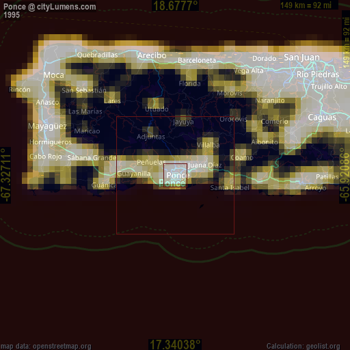
» NASA, Earths city lights 1995
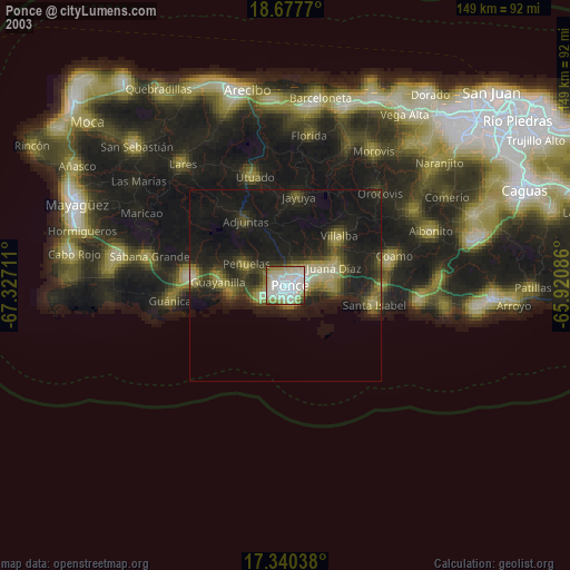
» NASA city lights 2003
» Earth at Night: Flat Maps 2012, 2016