Yauco night lights from space
Night Light of Yauco from space (Puerto Rico) Src. Average luminocity for 10x10km area is 45.197% and for 50x50km: 15.3955%.
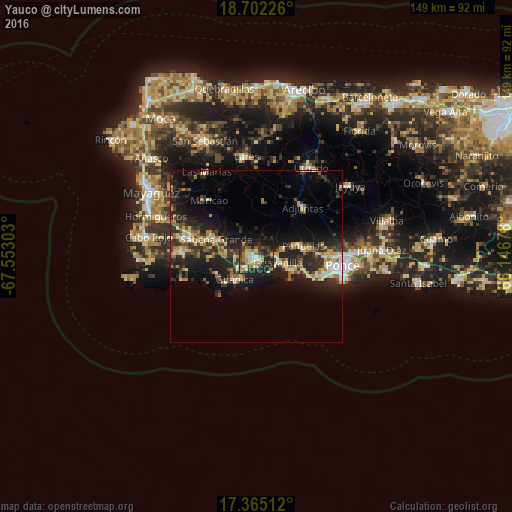
Analysis of Yauco night lights 2016
Square area 10x10 km:
 3.9%
3.9%90-99
5.84%80-89
7.79%70-79
9.09%60-69
5.41%50-59
7.36%40-49
3.46%30-39
15.58%20-29
22.51%10-19
19.05%0-9
0%Square area 50x50 km:
1.05%90-99
1.52%80-89
2.84%70-79
2.04%60-69
2.31%50-59
1.63%40-49
1.55%30-39
4.57%20-29
7.03%10-19
11.35%0-9
64.12%Clear (daylight) street map image can be seen on geolist.org.
Map coordinates:
18° 42' 8.1" North, 67° 33' 10.9" West
18° 2' 5.9" North, 66° 50' 59.6" West
17° 21' 54.4" North, 66° 8' 48.4" West
Some cities around Yauco sort by population:
• San Germán
21.3 km =13.2 mi,  284°
284°
• Guánica
9.3 km =5.8 mi,  221°
221°
• Sabana Grande
12.6 km =7.8 mi,  292°
292°
• Peñuelas
13.8 km =8.6 mi,  80°
80°
• Lajas
22.2 km =13.8 mi,  274°
274°
• Guayanilla
6.4 km =4 mi,  105°
105°
• Adjuntas
19.6 km =12.2 mi,  43°
43°
• Maricao
21.3 km =13.2 mi,  319°
319°
4568917 (p: 20,295)
Sources (retrieved 2019-11-25):
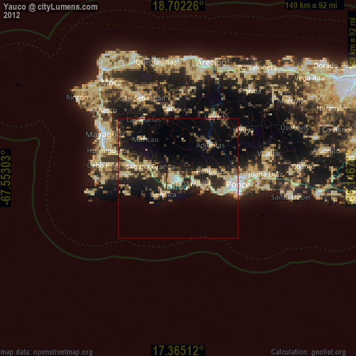
» Earth at Night: Flat Maps 2012, 2016