Naranjito night lights from space
Night Light of Naranjito from space (Puerto Rico) Src. Average luminocity for 10x10km area is 51.4318% and for 50x50km: 42.88%.
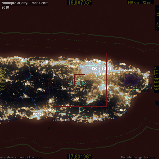
Analysis of Naranjito night lights 2016
Square area 10x10 km:
 0.62%
0.62%90-99
2.69%80-89
7.44%70-79
6.4%60-69
19.01%50-59
15.29%40-49
19.42%30-39
12.6%20-29
13.64%10-19
2.89%0-9
0%Square area 50x50 km:
9.8%90-99
5.73%80-89
5.15%70-79
5.74%60-69
7.89%50-59
5.31%40-49
6.23%30-39
7.46%20-29
10.05%10-19
17.06%0-9
19.59%Clear (daylight) street map image can be seen on geolist.org.
Map coordinates:
18° 58' 1.4" North, 66° 56' 52.9" West
18° 18' 2.8" North, 66° 14' 41.6" West
17° 37' 55.1" North, 65° 32' 30.4" West
Some cities around Naranjito sort by population:
• Candelaria
12.1 km =7.5 mi,  18°
18°
• Corozal
8.8 km =5.5 mi,  300°
300°
• Pájaros
8.1 km =5 mi, 21°
• Campanilla
13.4 km =8.3 mi,  3°
3°
• Candelaria Arenas
13.3 km =8.3 mi,  12°
12°
• Comerío
9.4 km =5.8 mi,  167°
167°
• Toa Alta
9.7 km =6 mi,  357°
357°
• Barranquitas
14.3 km =8.9 mi,  207°
207°
4566402 (p: 2,005)
Sources (retrieved 2019-11-25):
» Earth at Night: Flat Maps 2012, 2016