Hatillo night lights from space
Night Light of Hatillo from space (Puerto Rico) Src. Average luminocity for 10x10km area is 46.2128% and for 50x50km: 17.8058%.
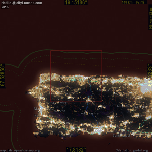
Analysis of Hatillo night lights 2016
Square area 10x10 km:
 3.93%
3.93%90-99
4.55%80-89
13.02%70-79
5.37%60-69
13.64%50-59
4.13%40-49
8.26%30-39
2.69%20-29
14.67%10-19
22.93%0-9
6.82%Square area 50x50 km:
0.77%90-99
1.13%80-89
3.11%70-79
3.05%60-69
3.7%50-59
2.26%40-49
2.62%30-39
4.17%20-29
8.12%10-19
14.66%0-9
56.41%Clear (daylight) street map image can be seen on geolist.org.
Map coordinates:
19° 9' 6.7" North, 67° 31' 42.9" West
18° 29' 10.8" North, 66° 49' 31.6" West
17° 49' 5.5" North, 66° 7' 20.4" West
Some cities around Hatillo sort by population:
• Arecibo
11.7 km =7.3 mi,  97°
97°
• Isabela
21 km =13 mi,  274°
274°
• San Sebastián
24.1 km =15 mi,  226°
226°
• Utuado
27.9 km =17.3 mi,  151°
151°
• Lares
22 km =13.7 mi,  194°
194°
• Estancias de Florida
30.1 km =18.7 mi,  116°
116°
• Quebradillas
12 km =7.5 mi,  263°
263°
• Camuy
2.1 km =1.3 mi, 262°
4565346 (p: 5,622)
Sources (retrieved 2019-11-25):
» Earth at Night: Flat Maps 2012, 2016