Quebradillas night lights from space
Night Light of Quebradillas from space (Puerto Rico) Src. Average luminocity for 10x10km area is 39.3719% and for 50x50km: 22.9869%.
Analysis of Quebradillas night lights 2016
Square area 10x10 km:
 0.83%
0.83%90-99
0.83%80-89
5.17%70-79
10.54%60-69
12.19%50-59
6.82%40-49
5.79%30-39
7.23%20-29
19.42%10-19
28.31%0-9
2.89%Square area 50x50 km:
1.11%90-99
1.67%80-89
4.71%70-79
4.16%60-69
4.82%50-59
3.01%40-49
4.2%30-39
5.18%20-29
8.37%10-19
14.52%0-9
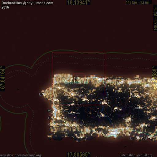
48.23%Clear (daylight) street map image can be seen on geolist.org.
Map coordinates:
19° 8' 21.9" North, 67° 38' 29.9" West
18° 28' 25.8" North, 66° 56' 18.6" West
17° 48' 20.3" North, 66° 14' 7.4" West
Some cities around Quebradillas sort by population:
• Arecibo
23.5 km =14.6 mi,  90°
90°
• Aguadilla
23.3 km =14.5 mi,  257°
257°
• Isabela
9.5 km =5.9 mi,  288°
288°
• San Sebastián
16.2 km =10.1 mi,  199°
199°
• Lares
20.9 km =13 mi,  161°
161°
• Hatillo
12 km =7.5 mi,  83°
83°
• Moca
20.4 km =12.7 mi,  244°
244°
• Camuy
9.9 km =6.2 mi, 83°
4567552 (p: 5,620)
Sources (retrieved 2019-11-25):
» Earth at Night: Flat Maps 2012, 2016