San Sebastián night lights from space
Night Light of San Sebastián from space (Puerto Rico) Src. Average luminocity for 10x10km area is 46.2975% and for 50x50km: 28.8918%.
Analysis of San Sebastián night lights 2016
Square area 10x10 km:
 2.07%
2.07%90-99
2.89%80-89
5.99%70-79
10.12%60-69
6.82%50-59
8.68%40-49
13.84%30-39
22.73%20-29
15.91%10-19
10.95%0-9
0%Square area 50x50 km:
1.45%90-99
2.03%80-89
5.7%70-79
5.32%60-69
6.42%50-59
3.65%40-49
5.2%30-39
6.4%20-29
10.61%10-19
18.1%0-9
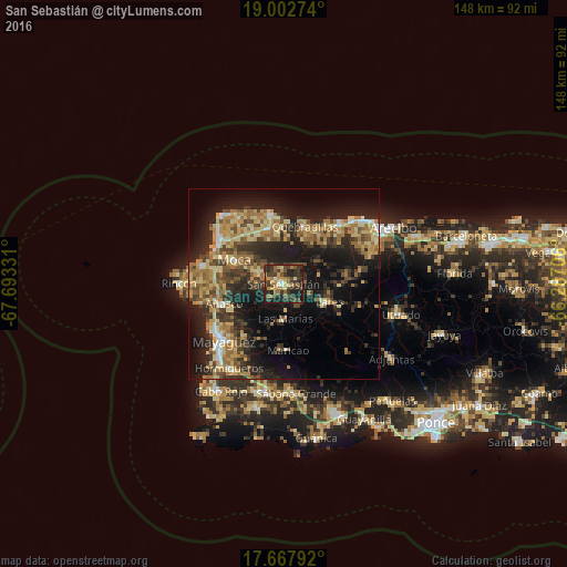
35.12%Clear (daylight) street map image can be seen on geolist.org.
Map coordinates:
19° 0' 9.9" North, 67° 41' 35.9" West
18° 20' 11.8" North, 66° 59' 24.6" West
17° 40' 4.5" North, 66° 17' 13.4" West
Some cities around San Sebastián sort by population:
• Aguadilla
20 km =12.4 mi,  300°
300°
• Isabela
18.6 km =11.6 mi,  348°
348°
• Lares
12.8 km =8 mi,  111°
111°
• Añasco
16.9 km =10.5 mi,  249°
249°
• Quebradillas
16.2 km =10.1 mi,  19°
19°
• Moca
14.5 km =9 mi, 296°
• Maricao
17.4 km =10.8 mi,  176°
176°
• Las Marías
9.4 km =5.8 mi, 181°
4568175 (p: 11,590)
Sources (retrieved 2019-11-25):
» Earth at Night: Flat Maps 2012, 2016