Lubsko night lights from space
Night Light of Lubsko (Lubusz) from space (Poland) Src. Average luminocity for 10x10km area is 7.2969% and for 50x50km: 2.6186%.
Analysis of Lubsko night lights 2016
Square area 10x10 km:
 1.12%
1.12%90-99
0.7%80-89
0.42%70-79
0%60-69
3.92%50-59
0.56%40-49
1.68%30-39
0.56%20-29
0%10-19
0%0-9
91.04%Square area 50x50 km:
0.38%90-99
0.43%80-89
0.15%70-79
0.23%60-69
0.43%50-59
0.36%40-49
0.52%30-39
0.29%20-29
0.2%10-19
1.27%0-9
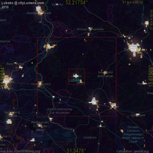
95.74%Clear (daylight) street map image can be seen on geolist.org.
Map coordinates:
52° 13' 3.1" North, 14° 16' 7.8" East
51° 47' 4.8" North, 14° 58' 19.1" East
51° 20' 51.4" North, 15° 40' 30.3" East
Some cities around Lubsko sort by population:
• Żary
19.5 km =12.1 mi,  144°
144°
• Żagań
30.1 km =18.7 mi,  128°
128°
• Forst, DE
23.5 km =14.6 mi,  256°
256°
• Weißwasser, DE
38.7 km =24 mi,  216°
216°
• Guben, DE
25.5 km =15.8 mi,  316°
316°
• Gubin
24.8 km =15.4 mi, 317°
• Krosno Odrzańskie
31.3 km =19.4 mi,  16°
16°
• Nowogród Bobrzański
18.2 km =11.3 mi,  85°
85°
3092813 (p: 14,994)
Sources (retrieved 2019-11-25):
» Earth at Night: Flat Maps 2012, 2016