Żagań night lights from space
Night Light of Żagań (Lubusz) from space (Poland) Src. Average luminocity for 10x10km area is 11.4238% and for 50x50km: 2.243%.
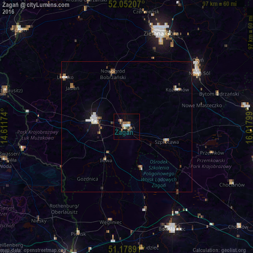
Analysis of Żagań night lights 2016
Square area 10x10 km:
 1.07%
1.07%90-99
2.14%80-89
0.94%70-79
0.94%60-69
2.94%50-59
1.07%40-49
3.07%30-39
0.13%20-29
0.53%10-19
0.8%0-9
86.36%Square area 50x50 km:
0.34%90-99
0.46%80-89
0.11%70-79
0.15%60-69
0.36%50-59
0.23%40-49
0.47%30-39
0.13%20-29
0.18%10-19
1.34%0-9
96.24%Clear (daylight) street map image can be seen on geolist.org.
Map coordinates:
52° 3' 7.5" North, 14° 36' 42.3" East
51° 37' 3.3" North, 15° 18' 53.5" East
51° 10' 44.1" North, 16° 1' 4.8" East
Some cities around Żagań sort by population:
• Zielona Góra
37.7 km =23.4 mi,  20°
20°
• Nowa Sól
34.6 km =21.5 mi,  53°
53°
• Żary
12.6 km =7.8 mi,  282°
282°
• Lubsko
30.1 km =18.7 mi,  308°
308°
• Szprotawa
16.4 km =10.2 mi,  110°
110°
• Kożuchów
24 km =14.9 mi, 53°
• Przemków
34.7 km =21.6 mi, 107°
• Nowogród Bobrzański
20.9 km =13 mi,  344°
344°
3080944 (p: 26,251)
Sources (retrieved 2019-11-25):
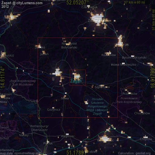
» Earth at Night: Flat Maps 2012, 2016