Szprotawa night lights from space
Night Light of Szprotawa (Lubusz) from space (Poland) Src. Average luminocity for 10x10km area is 2.508% and for 50x50km: 1.3381%.
Analysis of Szprotawa night lights 2016
Square area 10x10 km:
 0%
0%90-99
1.07%80-89
0%70-79
0.53%60-69
0.13%50-59
0.94%40-49
0%30-39
0%20-29
0.13%10-19
0.94%0-9
96.26%Square area 50x50 km:
0.07%90-99
0.2%80-89
0.13%70-79
0.15%60-69
0.21%50-59
0.14%40-49
0.38%30-39
0.15%20-29
0.14%10-19
0.39%0-9
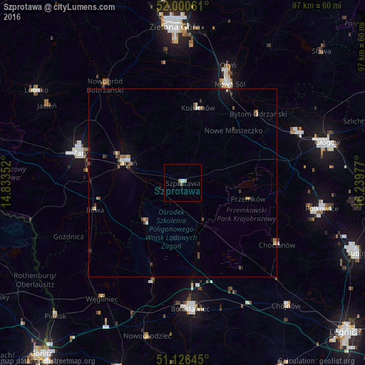
98.02%Clear (daylight) street map image can be seen on geolist.org.
Map coordinates:
52° 0' 2.2" North, 14° 50' 0.7" East
51° 33' 56.3" North, 15° 32' 11.9" East
51° 7' 35.2" North, 16° 14' 23.2" East
Some cities around Szprotawa sort by population:
• Bolesławiec
33.6 km =20.9 mi,  176°
176°
• Nowa Sól
29.2 km =18.1 mi,  25°
25°
• Żary
28.9 km =18 mi,  287°
287°
• Żagań
16.4 km =10.2 mi, 290°
• Kożuchów
20.4 km =12.7 mi,  11°
11°
• Chocianów
30.1 km =18.7 mi,  122°
122°
• Przemków
18.4 km =11.4 mi,  104°
104°
• Nowogród Bobrzański
33.2 km =20.6 mi,  321°
321°
3083632 (p: 12,786)
Sources (retrieved 2019-11-25):
» Earth at Night: Flat Maps 2012, 2016