Zielona Góra night lights from space
Night Light of Zielona Góra (Lubusz) from space (Poland) Src. Average luminocity for 10x10km area is 44.9634% and for 50x50km: 3.9991%.
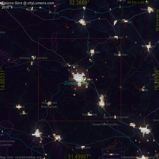


Analysis of Zielona Góra night lights 2016
Square area 10x10 km:
 11.62%
90-99
12.12%80-89
5.05%70-79
4.17%60-69
3.28%50-59
2.78%40-49
1.52%30-39
1.64%20-29
17.93%10-19
32.45%0-9
7.45%Square area 50x50 km:
0.73%90-99
0.76%80-89
0.38%70-79
0.45%60-69
0.32%50-59
0.33%40-49
0.52%30-39
0.26%20-29
0.98%10-19
3.18%0-9
92.1%Clear (daylight) street map image can be seen on geolist.org.
Map coordinates:
52° 22' 0.8" North, 14° 48' 11.9" East
51° 56' 7.7" North, 15° 30' 23.1" East
51° 29' 59.5" North, 16° 12' 34.4" East
Some cities around Zielona Góra sort by population:
• Nowa Sól
20.6 km =12.8 mi,  135°
135°
• Żagań
37.7 km =23.4 mi,  200°
200°
• Świebodzin
34.7 km =21.6 mi,  3°
3°
• Sulechów
18.4 km =11.4 mi,  26°
26°
• Krosno Odrzańskie
30.9 km =19.2 mi,  295°
295°
• Kożuchów
22 km =13.7 mi,  163°
163°
• Nowogród Bobrzański
24.1 km =15 mi,  230°
230°
• Zbąszynek
40.2 km =25 mi, 31°
3080165 (p: 118,433)
Sources (retrieved 2019-11-25):
» NASA, Earths city lights 1995
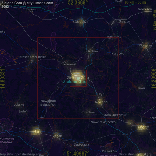
» NASA city lights 2003
» Earth at Night: Flat Maps 2012, 2016