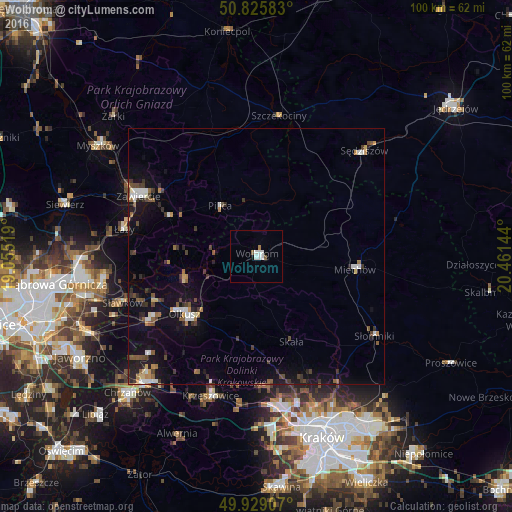
Wolbrom night lights from space
Night Light of Wolbrom (Lesser Poland) from space (Poland) Src. Average luminocity for 10x10km area is 5.4048% and for 50x50km: 4.5362%.
Analysis of Wolbrom night lights 2016
Square area 10x10 km:
 1.54%
1.54%90-99
1.82%80-89
0%70-79
0%60-69
0.56%50-59
0.84%40-49
0.28%30-39
0%20-29
0%10-19
0.56%0-9
94.4%Square area 50x50 km:
0.58%90-99
0.54%80-89
0.22%70-79
0.37%60-69
0.5%50-59
0.7%40-49
0.81%30-39
0.93%20-29
0.85%10-19
3.74%0-9
90.74%Clear (daylight) street map image can be seen on geolist.org.
Map coordinates:
50° 49' 33" North, 19° 3' 18.7" East
50° 22' 46.5" North, 19° 45' 29.9" East
49° 55' 44.7" North, 20° 27' 41.2" East
Some cities around Wolbrom sort by population:
• Zawiercie
27 km =16.8 mi,  296°
296°
• Olkusz
17.5 km =10.9 mi,  231°
231°
• Miechów
19.3 km =12 mi,  97°
97°
• Bukowno
24.8 km =15.4 mi,  238°
238°
• Krzeszowice
27.8 km =17.3 mi,  198°
198°
• Łazy
26.3 km =16.3 mi,  281°
281°
• Sławków
27.6 km =17.1 mi,  251°
251°
• Klucze
14.7 km =9.1 mi, 250°
3081495 (p: 9,146)
Sources (retrieved 2019-11-25):
» Earth at Night: Flat Maps 2012, 2016